Klagenfurt am Wörthersee night lights from space
Night Light of Klagenfurt am Wörthersee (Carinthia) from space (Austria) Src. Average luminocity for 10x10km area is 28.7031% and for 50x50km: 2.7033%.
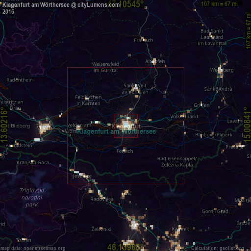
Analysis of Klagenfurt am Wörthersee night lights 2016
Square area 10x10 km:
 3.98%
3.98%90-99
4.83%80-89
3.13%70-79
0.71%60-69
4.4%50-59
6.25%40-49
5.54%30-39
3.69%20-29
3.98%10-19
31.11%0-9
32.39%Square area 50x50 km:
0.32%90-99
0.42%80-89
0.29%70-79
0.25%60-69
0.23%50-59
0.5%40-49
0.56%30-39
0.34%20-29
0.37%10-19
1.5%0-9
95.22%Clear (daylight) street map image can be seen on geolist.org.
Map coordinates:
47° 6' 19.6" North, 13° 36' 7.8" East
46° 37' 29" North, 14° 18' 19" East
46° 8' 22.8" North, 15° 0' 30.3" East
Some cities around Klagenfurt am Wörthersee sort by population:
• Sankt Peter
2.7 km =1.7 mi,  78°
78°
• Sankt Martin
1.9 km =1.2 mi,  241°
241°
• Annabichl
2.9 km =1.8 mi,  17°
17°
• Sankt Veit an der Glan
16.5 km =10.3 mi,  14°
14°
• Viktring
4.6 km =2.9 mi,  217°
217°
• Villacher Vorstadt
1.3 km =0.8 mi,  264°
264°
• Sankt Ruprecht
2.9 km =1.8 mi,  162°
162°
• Wölfnitz
5.9 km =3.7 mi,  322°
322°
2774326 (p: 90,610)
Sources (retrieved 2019-11-25):
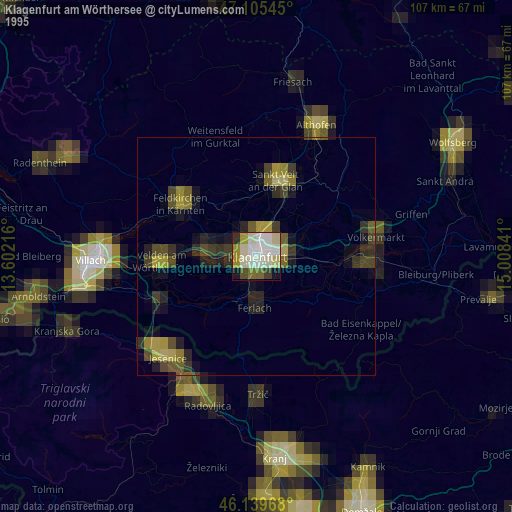
» NASA, Earths city lights 1995
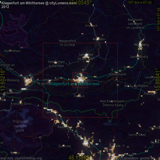
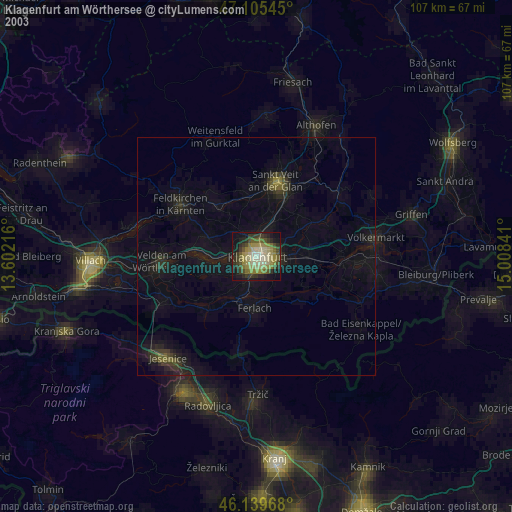
» NASA city lights 2003
» Earth at Night: Flat Maps 2012, 2016