Lienz night lights from space
Night Light of Lienz (Tyrol) from space (Austria) Src. Average luminocity for 10x10km area is 7.4747% and for 50x50km: 0.4031%.
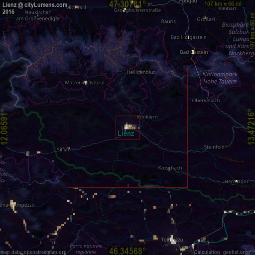
Analysis of Lienz night lights 2016
Square area 10x10 km:
 0.45%
0.45%90-99
1.34%80-89
0.6%70-79
0.6%60-69
0.15%50-59
2.23%40-49
2.23%30-39
1.49%20-29
2.23%10-19
0%0-9
88.69%Square area 50x50 km:
0.02%90-99
0.07%80-89
0.02%70-79
0.02%60-69
0.01%50-59
0.12%40-49
0.12%30-39
0.08%20-29
0.15%10-19
0.02%0-9
99.35%Clear (daylight) street map image can be seen on geolist.org.
Map coordinates:
47° 18' 28.1" North, 12° 3' 57.3" East
46° 49' 44" North, 12° 46' 8.5" East
46° 20' 44.4" North, 13° 28' 19.8" East
Some cities around Lienz sort by population:
• Spittal an der Drau
55.7 km =34.6 mi,  93°
93°
• Brunico, IT
63.6 km =39.5 mi,  267°
267°
• Gemona, IT
67.4 km =41.9 mi,  156°
156°
• Saalfelden am Steinernen Meer
66.7 km =41.4 mi,  5°
5°
• Tolmezzo, IT
51.4 km =31.9 mi, 158°
• Zell am See
55 km =34.2 mi,  2°
2°
• Valle Aurina - Ahrntal, IT
62.8 km =39 mi,  287°
287°
• Cortina d'Ampezzo, IT
58 km =36 mi,  235°
235°
2772505 (p: 11,572)
Sources (retrieved 2019-11-25):
» Earth at Night: Flat Maps 2012, 2016