Saalfelden am Steinernen Meer night lights from space
Night Light of Saalfelden am Steinernen Meer (Salzburg) from space (Austria) Src. Average luminocity for 10x10km area is 1.2898% and for 50x50km: 0.4329%.
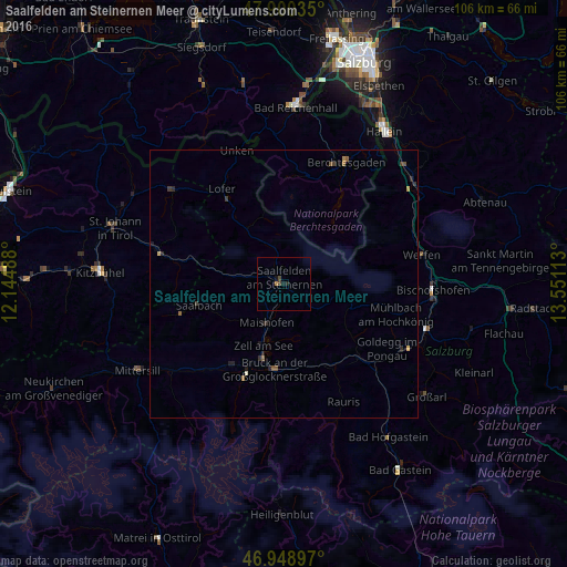
Analysis of Saalfelden am Steinernen Meer night lights 2016
Square area 10x10 km:
 0%
0%90-99
0%80-89
0%70-79
0.28%60-69
0.28%50-59
0%40-49
0.85%30-39
0.28%20-29
0.28%10-19
1.42%0-9
96.59%Square area 50x50 km:
0%90-99
0.02%80-89
0.05%70-79
0.05%60-69
0.07%50-59
0.12%40-49
0.09%30-39
0.16%20-29
0.21%10-19
0.19%0-9
99.05%Clear (daylight) street map image can be seen on geolist.org.
Map coordinates:
47° 54' 1.3" North, 12° 8' 41.6" East
47° 25' 36.5" North, 12° 50' 52.8" East
46° 56' 56.3" North, 13° 33' 4.1" East
Some cities around Saalfelden am Steinernen Meer sort by population:
• Bad Reichenhall, DE
33.7 km =20.9 mi,  3°
3°
• Sankt Johann in Tirol
33.7 km =20.9 mi,  288°
288°
• Berchtesgaden, DE
25.6 km =15.9 mi,  26°
26°
• Zell am See
12.1 km =7.5 mi,  197°
197°
• Bischofswiesen, DE
24.9 km =15.5 mi,  24°
24°
• Bischofshofen
27.8 km =17.3 mi,  92°
92°
• Hallein
34.2 km =21.3 mi, 33°
• Schönau am Königssee, DE
22 km =13.7 mi, 28°
2766922 (p: 8,688)
Sources (retrieved 2019-11-25):
» Earth at Night: Flat Maps 2012, 2016