Spittal an der Drau night lights from space
Night Light of Spittal an der Drau (Carinthia) from space (Austria) Src. Average luminocity for 10x10km area is 4.4821% and for 50x50km: 0.4595%.
Analysis of Spittal an der Drau night lights 2016
Square area 10x10 km:
 0%
0%90-99
0.6%80-89
0.6%70-79
1.19%60-69
0.74%50-59
1.04%40-49
0%30-39
1.79%20-29
0.45%10-19
0.15%0-9
93.45%Square area 50x50 km:
0%90-99
0.02%80-89
0.07%70-79
0.05%60-69
0.07%50-59
0.05%40-49
0.08%30-39
0.2%20-29
0.09%10-19
0.36%0-9
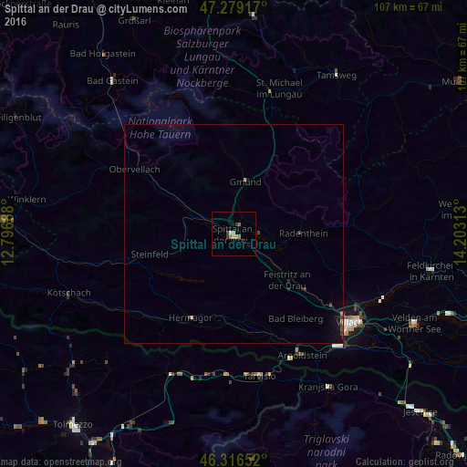
99.01%Clear (daylight) street map image can be seen on geolist.org.
Map coordinates:
47° 16' 45" North, 12° 47' 48.8" East
46° 48' 0" North, 13° 30' 0" East
46° 18' 59.5" North, 14° 12' 11.3" East
Some cities around Spittal an der Drau sort by population:
• Villach
34.4 km =21.4 mi,  127°
127°
• Finkenstein am Faaker See
41.3 km =25.7 mi, 126°
• Villach-Innere Stadt
33.6 km =20.9 mi, 128°
• Auen
34.4 km =21.4 mi, 130°
• Völkendorf
33.1 km =20.6 mi, 130°
• Lind
33 km =20.5 mi, 126°
• Bovec, SI
51.5 km =32 mi,  175°
175°
• Kranjska Gora, SI
43.7 km =27.2 mi,  150°
150°
2764786 (p: 12,880)
Sources (retrieved 2019-11-25):
» Earth at Night: Flat Maps 2012, 2016