Landeck night lights from space
Night Light of Landeck (Tyrol) from space (Austria) Src. Average luminocity for 10x10km area is 6.1009% and for 50x50km: 0.8315%.
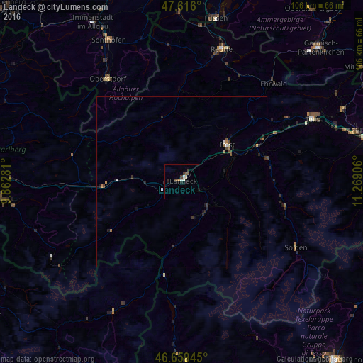
Analysis of Landeck night lights 2016
Square area 10x10 km:
 0.43%
0.43%90-99
1.7%80-89
0.14%70-79
0.57%60-69
0%50-59
1.7%40-49
0.99%30-39
1.56%20-29
1.28%10-19
0.71%0-9
90.91%Square area 50x50 km:
0.05%90-99
0.15%80-89
0.03%70-79
0.1%60-69
0.11%50-59
0.1%40-49
0.19%30-39
0.23%20-29
0.3%10-19
0.2%0-9
98.54%Clear (daylight) street map image can be seen on geolist.org.
Map coordinates:
47° 36' 57.6" North, 9° 51' 46.1" East
47° 8' 23.6" North, 10° 33' 57.3" East
46° 39' 34" North, 11° 16' 8.6" East
Some cities around Landeck sort by population:
• Sonthofen, DE
47.2 km =29.3 mi,  333°
333°
• Telfs
42.2 km =26.2 mi,  63°
63°
• Füssen, DE
49.1 km =30.5 mi,  12°
12°
• Imst
17.6 km =10.9 mi,  48°
48°
• Oberstdorf, DE
36.8 km =22.9 mi,  323°
323°
• Pfronten, DE
49.2 km =30.6 mi,  358°
358°
• Reutte
39.8 km =24.7 mi,  16°
16°
• Blaichach, DE
50.4 km =31.3 mi, 332°
2773070 (p: 7,725)
Sources (retrieved 2019-11-25):
» Earth at Night: Flat Maps 2012, 2016