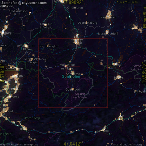
Sonthofen night lights from space
Night Light of Sonthofen (Bavaria) from space (Germany) Src. Average luminocity for 10x10km area is 4.9659% and for 50x50km: 1.1446%.
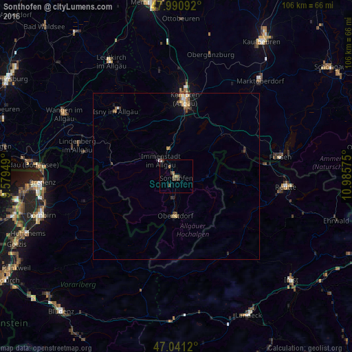
Analysis of Sonthofen night lights 2016
Square area 10x10 km:
 0.14%
0.14%90-99
0.71%80-89
0%70-79
0.57%60-69
1.7%50-59
0.99%40-49
2.13%30-39
0.85%20-29
0%10-19
0.57%0-9
92.33%Square area 50x50 km:
0.08%90-99
0.13%80-89
0.09%70-79
0.25%60-69
0.11%50-59
0.27%40-49
0.29%30-39
0.16%20-29
0.1%10-19
0.6%0-9
97.92%Clear (daylight) street map image can be seen on geolist.org.
Map coordinates:
47° 59' 27.3" North, 9° 34' 46.2" East
47° 31' 5.6" North, 10° 16' 57.4" East
47° 2' 28.3" North, 10° 59' 8.7" East
Some cities around Sonthofen sort by population:
• Immenstadt im Allgäu
6.9 km =4.3 mi,  312°
312°
• Oberstdorf
12.3 km =7.6 mi,  181°
181°
• Waltenhofen
17.3 km =10.7 mi,  6°
6°
• Pfronten
21.3 km =13.2 mi,  70°
70°
• Oberstaufen
20 km =12.4 mi,  282°
282°
• Durach
20.1 km =12.5 mi, 13°
• Blaichach
3.2 km =2 mi,  325°
325°
• Weitnau
18 km =11.2 mi,  319°
319°
2831088 (p: 21,285)
Sources (retrieved 2019-11-25):
» Earth at Night: Flat Maps 2012, 2016