Pfronten night lights from space
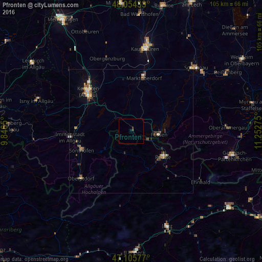
Night Light of Pfronten (Bavaria) from space (Germany) Src. Average luminocity for 10x10km area is 0.5881% and for 50x50km: 1.9563%.
Analysis of Pfronten night lights 2016
Square area 10x10 km:
 0%
0%90-99
0%80-89
0%70-79
0%60-69
0%50-59
0%40-49
0.57%30-39
0.57%20-29
0%10-19
0.57%0-9
98.3%Square area 50x50 km:
0.15%90-99
0.2%80-89
0.16%70-79
0.3%60-69
0.2%50-59
0.39%40-49
0.46%30-39
0.39%20-29
0.36%10-19
0.96%0-9
96.42%Clear (daylight) street map image can be seen on geolist.org.
Map coordinates:
48° 3' 15.6" North, 9° 50' 47.4" East
47° 34' 55.9" North, 10° 32' 58.6" East
47° 6' 20.8" North, 11° 15' 9.9" East
Some cities around Pfronten sort by population:
• Kempten (Allgäu)
23.9 km =14.9 mi,  312°
312°
• Sonthofen
21.3 km =13.2 mi,  250°
250°
• Marktoberdorf
22.5 km =14 mi,  12°
12°
• Füssen
11.5 km =7.1 mi,  95°
95°
• Waltenhofen
20.8 km =12.9 mi,  299°
299°
• Reutte, AT
16.7 km =10.4 mi,  131°
131°
• Durach
19.8 km =12.3 mi, 309°
• Blaichach
22.3 km =13.9 mi,  258°
258°
2853949 (p: 7,890)
Sources (retrieved 2019-11-25):
» Earth at Night: Flat Maps 2012, 2016