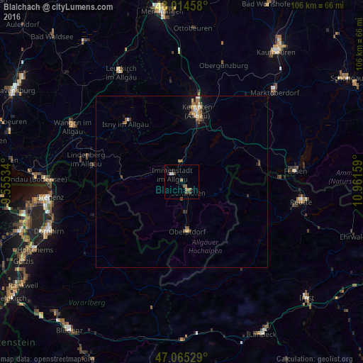
Blaichach night lights from space
Night Light of Blaichach (Bavaria) from space (Germany) Src. Average luminocity for 10x10km area is 5.5256% and for 50x50km: 1.3246%.
Analysis of Blaichach night lights 2016
Square area 10x10 km:
 0.28%
0.28%90-99
0.85%80-89
0%70-79
0.57%60-69
1.7%50-59
0.85%40-49
1.99%30-39
0.85%20-29
0.57%10-19
1.7%0-9
90.63%Square area 50x50 km:
0.1%90-99
0.15%80-89
0.12%70-79
0.25%60-69
0.16%50-59
0.31%40-49
0.3%30-39
0.16%20-29
0.1%10-19
0.81%0-9
97.53%Clear (daylight) street map image can be seen on geolist.org.
Map coordinates:
48° 0' 52.5" North, 9° 33' 19.2" East
47° 32' 31.5" North, 10° 15' 30.5" East
47° 3' 55" North, 10° 57' 41.7" East
Some cities around Blaichach sort by population:
• Kempten (Allgäu)
20.9 km =13 mi,  11°
11°
• Sonthofen
3.2 km =2 mi,  145°
145°
• Immenstadt im Allgäu
3.9 km =2.4 mi,  300°
300°
• Oberstdorf
15.1 km =9.4 mi,  174°
174°
• Waltenhofen
15 km =9.3 mi, 14°
• Oberstaufen
17.8 km =11.1 mi,  274°
274°
• Durach
18.1 km =11.2 mi,  20°
20°
• Weitnau
14.8 km =9.2 mi,  318°
318°
2948114 (p: 5,625)
Sources (retrieved 2019-11-25):
» Earth at Night: Flat Maps 2012, 2016