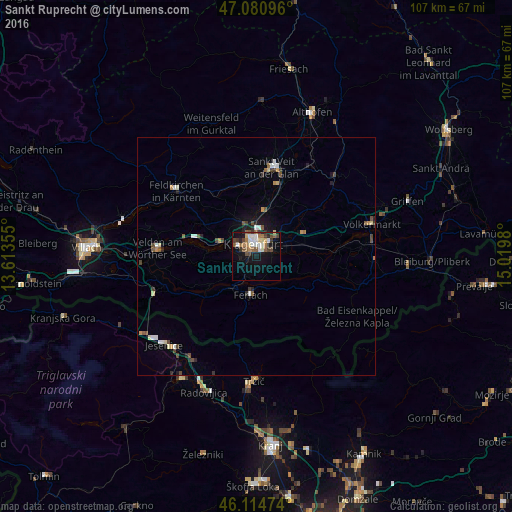
Sankt Ruprecht night lights from space
Night Light of Sankt Ruprecht (Carinthia) from space (Austria) Src. Average luminocity for 10x10km area is 24.0938% and for 50x50km: 2.8022%.
Analysis of Sankt Ruprecht night lights 2016
Square area 10x10 km:
 3.69%
3.69%90-99
3.98%80-89
2.84%70-79
0.71%60-69
4.4%50-59
4.4%40-49
4.69%30-39
2.98%20-29
2.13%10-19
20.31%0-9
49.86%Square area 50x50 km:
0.32%90-99
0.42%80-89
0.29%70-79
0.25%60-69
0.25%50-59
0.5%40-49
0.59%30-39
0.38%20-29
0.42%10-19
1.55%0-9
95.04%Clear (daylight) street map image can be seen on geolist.org.
Map coordinates:
47° 4' 51.5" North, 13° 36' 48.8" East
46° 36' 0" North, 14° 19' 0" East
46° 6' 53.1" North, 15° 1' 11.3" East
Some cities around Sankt Ruprecht sort by population:
• Klagenfurt am Wörthersee
2.9 km =1.8 mi,  342°
342°
• Jesenice, SI
26.8 km =16.7 mi,  225°
225°
• Annabichl
5.6 km =3.5 mi,  0°
0°
• Viktring
3.7 km =2.3 mi,  256°
256°
• Villacher Vorstadt
3.4 km =2.1 mi,  321°
321°
• Wölfnitz
8.6 km =5.3 mi,  328°
328°
• Tržič, SI
26.3 km =16.3 mi,  181°
181°
• Žirovnica, SI
25.6 km =15.9 mi,  211°
211°
2766412 (p: 7,442)
Sources (retrieved 2019-11-25):
» Earth at Night: Flat Maps 2012, 2016