Donaustadt night lights from space
Night Light of Donaustadt (Vienna) from space (Austria) Src. Average luminocity for 10x10km area is 81.7723% and for 50x50km: 25.2204%.
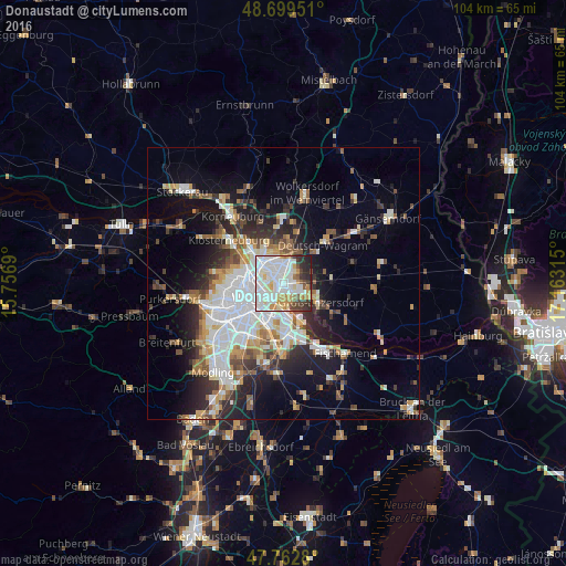
Analysis of Donaustadt night lights 2016
Square area 10x10 km:
 29.17%
90-99
30.95%80-89
6.99%70-79
8.48%60-69
4.02%50-59
3.72%40-49
4.32%30-39
5.8%20-29
5.95%10-19
0.6%0-9
0%Square area 50x50 km:
6.35%90-99
5.4%80-89
2.12%70-79
2.7%60-69
2.95%50-59
2.61%40-49
2.37%30-39
3.28%20-29
6.11%10-19
10.19%0-9
55.92%Clear (daylight) street map image can be seen on geolist.org.
Map coordinates:
48° 41' 58.2" North, 15° 45' 24.8" East
48° 13' 59.9" North, 16° 27' 36.1" East
47° 45' 46.1" North, 17° 9' 47.3" East
Some cities around Donaustadt sort by population:
• Vienna
7.1 km =4.4 mi,  247°
247°
• Favoriten
9.9 km =6.2 mi,  215°
215°
• Floridsdorf
4.8 km =3 mi,  292°
292°
• Simmering
5.9 km =3.7 mi,  199°
199°
• Innere Stadt
7.1 km =4.4 mi, 247°
• Gerasdorf bei Wien
6.8 km =4.2 mi,  4°
4°
• Deutsch-Wagram
10.8 km =6.7 mi,  46°
46°
• Groß-Enzersdorf
7.5 km =4.7 mi,  116°
116°
11903636 (p: 187,007)
Sources (retrieved 2019-11-25):
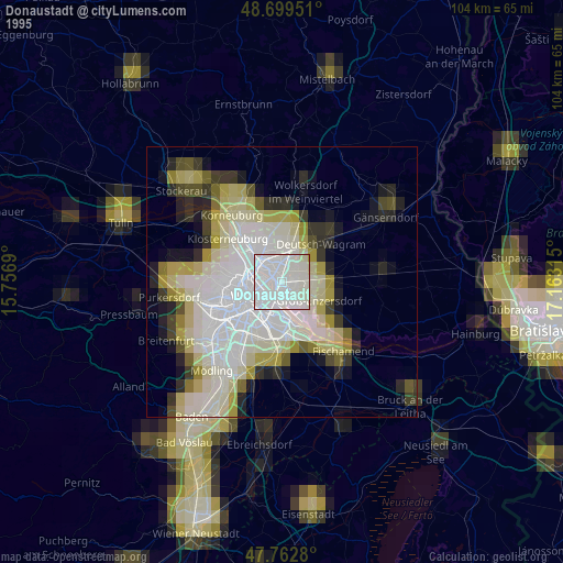
» NASA, Earths city lights 1995
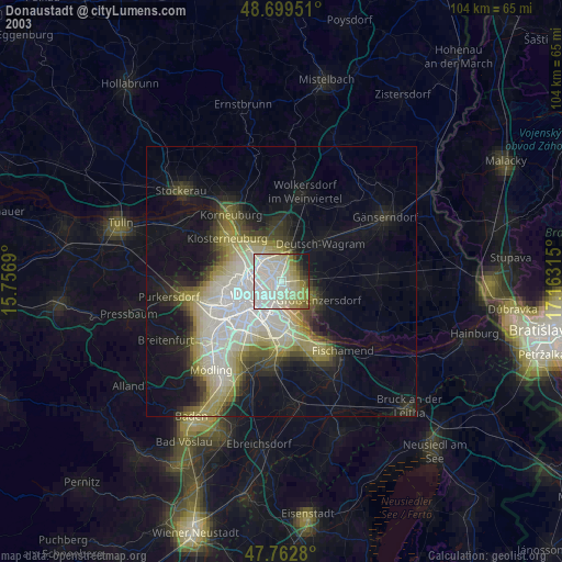
» NASA city lights 2003
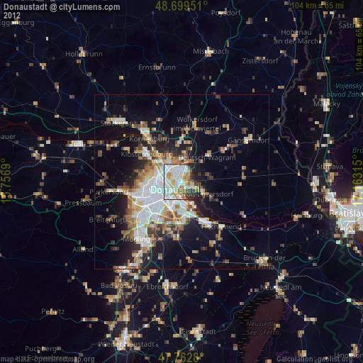
» Earth at Night: Flat Maps 2012, 2016