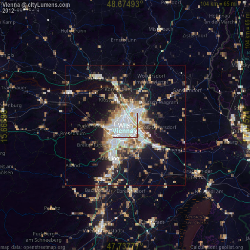
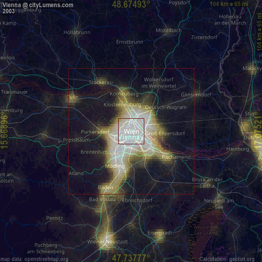
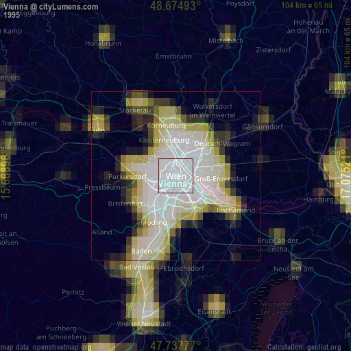
Vienna night lights from space
Night Light of Vienna from space (Austria) Src. Average luminocity for 10x10km area is 98.1503% and for 50x50km: 26.2293%.
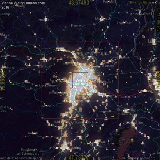
Analysis of Vienna night lights 2016
Square area 10x10 km:
 65.48%
90-99
28.57%80-89
3.57%70-79
2.08%60-69
0.3%50-59
0%40-49
0%30-39
0%20-29
0%10-19
0%0-9
0%Square area 50x50 km:
6.51%90-99
5.49%80-89
2.18%70-79
2.8%60-69
3.2%50-59
2.73%40-49
2.5%30-39
3.5%20-29
6.67%10-19
10.78%0-9
53.63%Clear (daylight) street map image can be seen on geolist.org.
Map coordinates:
48° 40' 29.7" North, 15° 40' 8.3" East
48° 12' 30.6" North, 16° 22' 19.5" East
47° 44' 16" North, 17° 4' 30.8" East
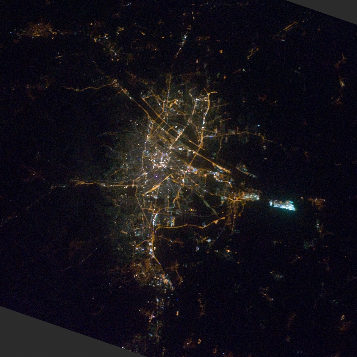
Fantastic image of Vienna from space taken by astronauts [src2], but I don't have information about it's orientation, scale or angle. If necessary, it was rotated manually, so North points approximately to upper direction. Click to zoom in:
Some cities around Vienna sort by population:
• Favoriten
5.3 km =3.3 mi,  171°
171°
• Donaustadt
7.1 km =4.4 mi,  67°
67°
• Floridsdorf
5.1 km =3.2 mi,  24°
24°
• Ottakring
5.4 km =3.4 mi,  279°
279°
• Simmering
5.3 km =3.3 mi,  121°
121°
• Meidling
5.5 km =3.4 mi,  211°
211°
• Hietzing
6.1 km =3.8 mi,  246°
246°
• Innere Stadt
0.1 km =0.1 mi,  319°
319°
2761369 (p: 1,691,468)
Sources (retrieved 2019-11-25):
» NASA, Earths city lights 1995
» NASA city lights 2003
» Earth at Night: Flat Maps 2012, 2016
Src.2: by NASA Photo ID ISS029-E-41846, 2011-10-06