Floridsdorf night lights from space
Night Light of Floridsdorf (Vienna) from space (Austria) Src. Average luminocity for 10x10km area is 92.3304% and for 50x50km: 24.6962%.
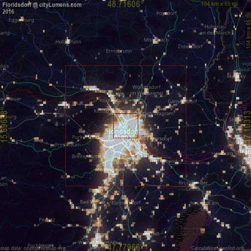
Analysis of Floridsdorf night lights 2016
Square area 10x10 km:
 45.39%
90-99
32.59%80-89
6.55%70-79
5.8%60-69
4.61%50-59
2.68%40-49
2.23%30-39
0.15%20-29
0%10-19
0%0-9
0%Square area 50x50 km:
6.3%90-99
5.36%80-89
2.05%70-79
2.5%60-69
2.94%50-59
2.57%40-49
2.29%30-39
3.24%20-29
5.93%10-19
9.78%0-9
57.03%Clear (daylight) street map image can be seen on geolist.org.
Map coordinates:
48° 42' 57.8" North, 15° 41' 48.8" East
48° 15' 0" North, 16° 24' 0" East
47° 46' 46.8" North, 17° 6' 11.3" East
Some cities around Floridsdorf sort by population:
• Vienna
5.1 km =3.2 mi,  204°
204°
• Donaustadt
4.8 km =3 mi,  112°
112°
• Ottakring
8.3 km =5.2 mi,  243°
243°
• Simmering
7.8 km =4.8 mi,  161°
161°
• Innere Stadt
5 km =3.1 mi, 204°
• Klosterneuburg
8.3 km =5.2 mi,  317°
317°
• Gerasdorf bei Wien
7 km =4.3 mi,  45°
45°
• Langenzersdorf
6.7 km =4.2 mi,  334°
334°
2779469 (p: 162,779)
Sources (retrieved 2019-11-25):
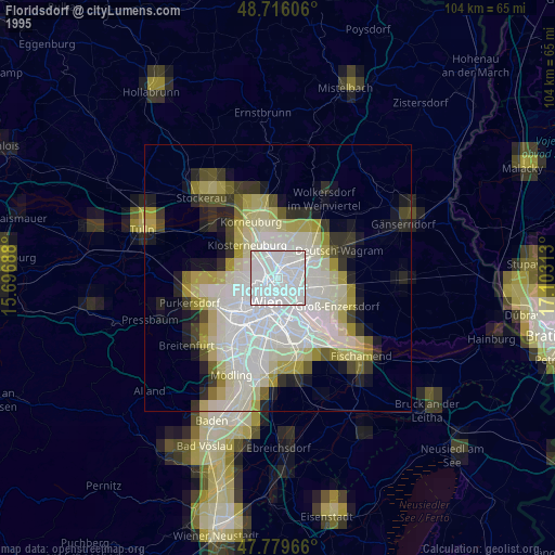
» NASA, Earths city lights 1995
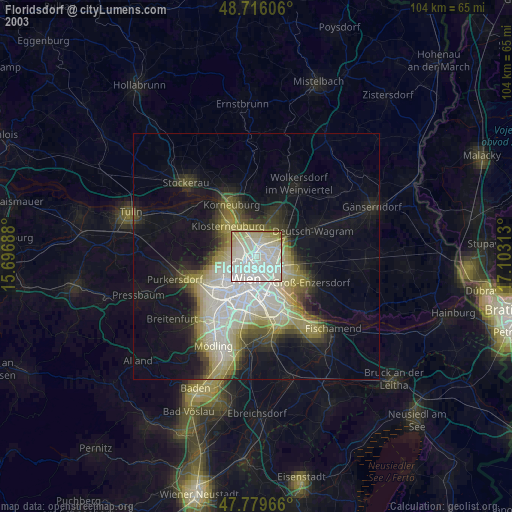
» NASA city lights 2003
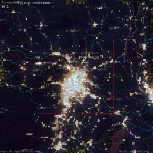
» Earth at Night: Flat Maps 2012, 2016