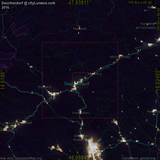
Deuchendorf night lights from space
Night Light of Deuchendorf (Styria) from space (Austria) Src. Average luminocity for 10x10km area is 12.7273% and for 50x50km: 1.7661%.
Analysis of Deuchendorf night lights 2016
Square area 10x10 km:
 1.7%
1.7%90-99
1.7%80-89
2.84%70-79
0%60-69
0.85%50-59
0.57%40-49
3.13%30-39
2.84%20-29
2.56%10-19
7.24%0-9
76.56%Square area 50x50 km:
0.23%90-99
0.27%80-89
0.21%70-79
0.11%60-69
0.23%50-59
0.16%40-49
0.23%30-39
0.3%20-29
0.38%10-19
0.59%0-9
97.29%Clear (daylight) street map image can be seen on geolist.org.
Map coordinates:
47° 56' 20.8" North, 14° 37' 7" East
47° 27' 57.3" North, 15° 19' 18.2" East
46° 59' 18.4" North, 16° 1' 29.5" East
Some cities around Deuchendorf sort by population:
• Weiz
35.5 km =22.1 mi,  141°
141°
• Bruck an der Mur
6.2 km =3.9 mi,  207°
207°
• Leoben
20 km =12.4 mi,  240°
240°
• Trofaiach
24.1 km =15 mi,  259°
259°
• Hafendorf
1.1 km =0.7 mi,  193°
193°
• Mürzzuschlag
30.6 km =19 mi,  59°
59°
• Judendorf
18.2 km =11.3 mi,  246°
246°
• Kindberg
10.4 km =6.5 mi,  68°
68°
2781046 (p: 5,507)
Sources (retrieved 2019-11-25):
» Earth at Night: Flat Maps 2012, 2016