Judendorf night lights from space
Night Light of Judendorf (Styria) from space (Austria) Src. Average luminocity for 10x10km area is 12.8509% and for 50x50km: 2.0257%.
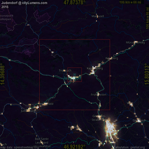
Analysis of Judendorf night lights 2016
Square area 10x10 km:
 2.27%
2.27%90-99
3.13%80-89
0.43%70-79
1.28%60-69
2.56%50-59
0.57%40-49
1.56%30-39
0.71%20-29
1.85%10-19
2.56%0-9
83.1%Square area 50x50 km:
0.23%90-99
0.31%80-89
0.23%70-79
0.17%60-69
0.25%50-59
0.14%40-49
0.38%30-39
0.38%20-29
0.36%10-19
0.65%0-9
96.9%Clear (daylight) street map image can be seen on geolist.org.
Map coordinates:
47° 52' 25.6" North, 14° 23' 48.8" East
47° 24' 0" North, 15° 6' 0" East
46° 55' 18.9" North, 15° 48' 11.3" East
Some cities around Judendorf sort by population:
• Knittelfeld
29.5 km =18.3 mi,  226°
226°
• Bruck an der Mur
13.9 km =8.6 mi,  82°
82°
• Leoben
2.7 km =1.7 mi,  193°
193°
• Trofaiach
7.6 km =4.7 mi,  291°
291°
• Gratkorn
35.1 km =21.8 mi,  147°
147°
• Hafendorf
17.6 km =10.9 mi,  69°
69°
• Deuchendorf
18.2 km =11.3 mi, 66°
• Kindberg
28.6 km =17.8 mi, 67°
2775013 (p: 5,475)
Sources (retrieved 2019-11-25):
» Earth at Night: Flat Maps 2012, 2016