Trofaiach night lights from space
Night Light of Trofaiach (Styria) from space (Austria) Src. Average luminocity for 10x10km area is 4.9574% and for 50x50km: 1.9179%.
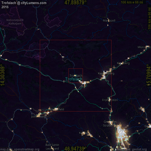
Analysis of Trofaiach night lights 2016
Square area 10x10 km:
 0.85%
0.85%90-99
1.28%80-89
0.14%70-79
1.56%60-69
0.43%50-59
0%40-49
0%30-39
0%20-29
0.57%10-19
1.14%0-9
94.03%Square area 50x50 km:
0.22%90-99
0.3%80-89
0.22%70-79
0.17%60-69
0.26%50-59
0.17%40-49
0.35%30-39
0.24%20-29
0.29%10-19
0.61%0-9
97.16%Clear (daylight) street map image can be seen on geolist.org.
Map coordinates:
47° 53' 55.6" North, 14° 18' 13.3" East
47° 25' 30.9" North, 15° 0' 24.5" East
46° 56' 50.6" North, 15° 42' 35.8" East
Some cities around Trofaiach sort by population:
• Knittelfeld
27.3 km =17 mi,  211°
211°
• Bruck an der Mur
20.8 km =12.9 mi,  92°
92°
• Judenburg
38.5 km =23.9 mi,  221°
221°
• Leoben
8.4 km =5.2 mi,  130°
130°
• Hafendorf
23.7 km =14.7 mi,  81°
81°
• Deuchendorf
24.1 km =15 mi, 79°
• Judendorf
7.6 km =4.7 mi,  111°
111°
• Kindberg
34.3 km =21.3 mi, 75°
2763332 (p: 7,728)
Sources (retrieved 2019-11-25):
» Earth at Night: Flat Maps 2012, 2016