Baden night lights from space
Night Light of Baden (Lower Austria) from space (Austria) Src. Average luminocity for 10x10km area is 32.2557% and for 50x50km: 21.8469%.
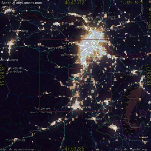
Analysis of Baden night lights 2016
Square area 10x10 km:
 3.41%
3.41%90-99
4.26%80-89
2.7%70-79
6.11%60-69
5.54%50-59
4.26%40-49
4.69%30-39
4.4%20-29
17.9%10-19
21.88%0-9
24.86%Square area 50x50 km:
5.27%90-99
4.1%80-89
1.86%70-79
2.69%60-69
2.78%50-59
2.29%40-49
2.26%30-39
2.91%20-29
5.58%10-19
10.5%0-9
59.75%Clear (daylight) street map image can be seen on geolist.org.
Map coordinates:
48° 28' 25.4" North, 15° 31' 46.3" East
48° 0' 19.5" North, 16° 13' 57.5" East
47° 31' 58.3" North, 16° 56' 8.8" East
Some cities around Baden sort by population:
• Mödling
9.9 km =6.2 mi,  25°
25°
• Wiener Neudorf
10.5 km =6.5 mi,  35°
35°
• Guntramsdorf
7.6 km =4.7 mi,  52°
52°
• Neu-Guntramsdorf
9 km =5.6 mi, 43°
• Maria Enzersdorf
11.2 km =7 mi,  19°
19°
• Bad Vöslau
4.7 km =2.9 mi,  197°
197°
• Kottingbrunn
6.1 km =3.8 mi,  183°
183°
• Traiskirchen
4.6 km =2.9 mi,  76°
76°
2782067 (p: 26,286)
Sources (retrieved 2019-11-25):
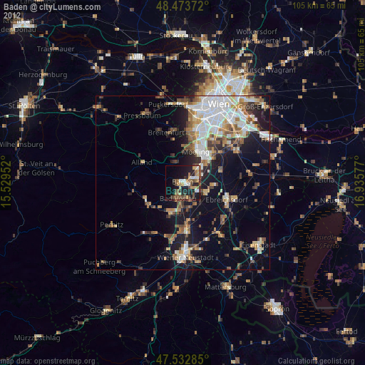
» Earth at Night: Flat Maps 2012, 2016