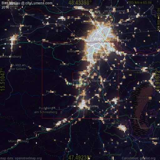
Bad Vöslau night lights from space
Night Light of Bad Vöslau (Lower Austria) from space (Austria) Src. Average luminocity for 10x10km area is 31.1293% and for 50x50km: 18.0702%.
Analysis of Bad Vöslau night lights 2016
Square area 10x10 km:
 1.14%
1.14%90-99
1.99%80-89
4.4%70-79
6.11%60-69
5.82%50-59
6.11%40-49
5.82%30-39
5.97%20-29
13.64%10-19
26.56%0-9
22.44%Square area 50x50 km:
3.37%90-99
3.29%80-89
1.48%70-79
2.27%60-69
2.51%50-59
2.17%40-49
2.09%30-39
2.52%20-29
5.29%10-19
10.15%0-9
64.86%Clear (daylight) street map image can be seen on geolist.org.
Map coordinates:
48° 26' 2.3" North, 15° 30' 37.7" East
47° 57' 55.2" North, 16° 12' 48.9" East
47° 29' 32.6" North, 16° 55' 0.2" East
Some cities around Bad Vöslau sort by population:
• Baden
4.7 km =2.9 mi,  17°
17°
• Guntramsdorf
11.7 km =7.3 mi,  39°
39°
• Neu-Guntramsdorf
13.4 km =8.3 mi,  34°
34°
• Berndorf
8 km =5 mi,  254°
254°
• Kottingbrunn
1.9 km =1.2 mi,  147°
147°
• Traiskirchen
8.1 km =5 mi,  47°
47°
• Ebreichsdorf
14.4 km =8.9 mi,  94°
94°
• Sollenau
7.9 km =4.9 mi,  160°
160°
2782043 (p: 7,469)
Sources (retrieved 2019-11-25):
» Earth at Night: Flat Maps 2012, 2016