Mödling night lights from space
Night Light of Mödling (Lower Austria) from space (Austria) Src. Average luminocity for 10x10km area is 61.8274% and for 50x50km: 25.3764%.
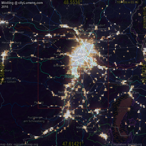
Analysis of Mödling night lights 2016
Square area 10x10 km:
 15.48%
90-99
15.33%80-89
4.61%70-79
8.78%60-69
11.01%50-59
6.85%40-49
5.36%30-39
9.08%20-29
13.69%10-19
9.82%0-9
0%Square area 50x50 km:
6.25%90-99
5.15%80-89
2.11%70-79
2.94%60-69
3.33%50-59
2.82%40-49
2.52%30-39
3.39%20-29
5.8%10-19
10.88%0-9
54.82%Clear (daylight) street map image can be seen on geolist.org.
Map coordinates:
48° 33' 13" North, 15° 35' 9.9" East
48° 5' 9.8" North, 16° 17' 21.2" East
47° 36' 51.2" North, 16° 59' 32.4" East
Some cities around Mödling sort by population:
• Perchtoldsdorf
4.1 km =2.5 mi,  335°
335°
• Brunn am Gebirge
2.4 km =1.5 mi,  351°
351°
• Wiener Neudorf
1.9 km =1.2 mi,  101°
101°
• Guntramsdorf
4.7 km =2.9 mi,  157°
157°
• Neu-Guntramsdorf
3.1 km =1.9 mi,  140°
140°
• Maria Enzersdorf
1.6 km =1 mi, 344°
• Vösendorf
5.4 km =3.4 mi,  44°
44°
• Traiskirchen
7.9 km =4.9 mi,  177°
177°
2771335 (p: 20,555)
Sources (retrieved 2019-11-25):
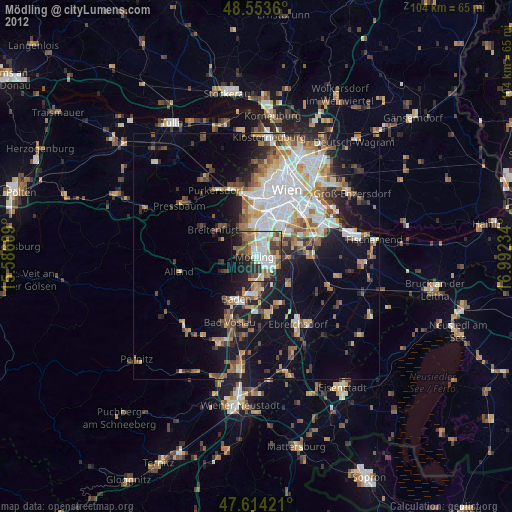
» Earth at Night: Flat Maps 2012, 2016