Tafí Viejo night lights from space
Night Light of Tafí Viejo (Tucuman) from space (Argentina) Src. Average luminocity for 10x10km area is 56.1329% and for 50x50km: 18.9258%.
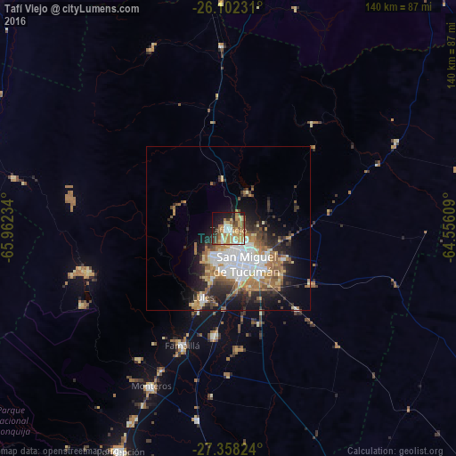
Analysis of Tafí Viejo night lights 2016
Square area 10x10 km:
 7.14%
7.14%90-99
8.13%80-89
11.11%70-79
13.69%60-69
13.29%50-59
6.55%40-49
6.15%30-39
5.36%20-29
9.33%10-19
15.48%0-9
3.77%Square area 50x50 km:
4.3%90-99
3.02%80-89
1.84%70-79
2.41%60-69
4.04%50-59
1.82%40-49
2.18%30-39
2.66%20-29
4.52%10-19
7.8%0-9
65.44%Clear (daylight) street map image can be seen on geolist.org.
Map coordinates:
26° 6' 8.3" South, 65° 57' 44.4" West
26° 43' 55.2" South, 65° 15' 33.2" West
27° 21' 29.7" South, 64° 33' 21.9" West
Some cities around Tafí Viejo sort by population:
• San Miguel de Tucumán
10.9 km =6.8 mi,  160°
160°
• Yerba Buena
11 km =6.8 mi,  211°
211°
• Alderetes
15.6 km =9.7 mi,  126°
126°
• Famaillá
38.6 km =24 mi,  201°
201°
• Monteros
53.9 km =33.5 mi, 206°
• Bella Vista
33.9 km =21.1 mi,  187°
187°
• Simoca
59.8 km =37.2 mi, 189°
• Trancas
55.7 km =34.6 mi,  357°
357°
3834813 (p: 48,459)
Sources (retrieved 2019-11-25):
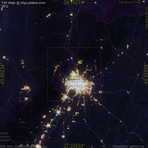
» Earth at Night: Flat Maps 2012, 2016