San Vicente night lights from space
Night Light of San Vicente (Misiones) from space (Argentina) Src. Average luminocity for 10x10km area is 7.4602% and for 50x50km: 0.3657%.
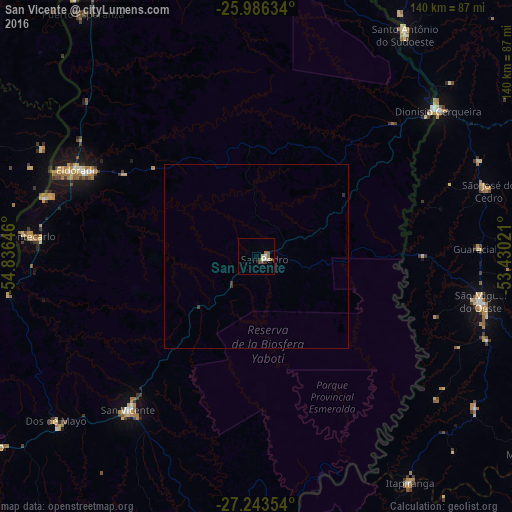
Analysis of San Vicente night lights 2016
Square area 10x10 km:
 0.38%
0.38%90-99
1.14%80-89
2.27%70-79
0%60-69
1.52%50-59
1.33%40-49
2.46%30-39
0.76%20-29
0%10-19
0%0-9
90.15%Square area 50x50 km:
0.02%90-99
0.05%80-89
0.09%70-79
0%60-69
0.06%50-59
0.05%40-49
0.1%30-39
0.12%20-29
0.03%10-19
0%0-9
99.48%Clear (daylight) street map image can be seen on geolist.org.
Map coordinates:
25° 59' 10.8" South, 54° 50' 11.3" West
26° 37' 0" South, 54° 7' 60" West
27° 14' 36.7" South, 53° 25' 48.8" West
Some cities around San Vicente sort by population:
• Puerto Eldorado
60.5 km =37.6 mi,  292°
292°
• San Pedro
2.5 km =1.6 mi,  103°
103°
• Montecarlo
62.3 km =38.7 mi,  275°
275°
• Dos de Mayo
71.1 km =44.2 mi,  230°
230°
• Santo Antônio do Sudoeste, BR
72.8 km =45.2 mi,  33°
33°
• Bernardo de Irigoyen
63 km =39.1 mi,  50°
50°
• Puerto Piray
59.4 km =36.9 mi, 286°
• El Alcázar
68.6 km =42.6 mi,  260°
260°
3428068 (p: 38,247)
Sources (retrieved 2019-11-25):
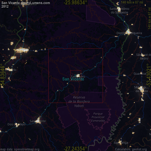
» Earth at Night: Flat Maps 2012, 2016