Puerto Eldorado night lights from space
Night Light of Puerto Eldorado (Misiones) from space (Argentina) Src. Average luminocity for 10x10km area is 21.142% and for 50x50km: 3.6719%.
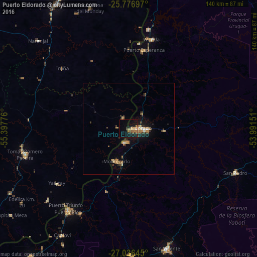
Analysis of Puerto Eldorado night lights 2016
Square area 10x10 km:
 0%
0%90-99
0.95%80-89
3.98%70-79
4.17%60-69
5.49%50-59
2.08%40-49
3.03%30-39
2.27%20-29
1.89%10-19
30.68%0-9
45.45%Square area 50x50 km:
0.15%90-99
0.2%80-89
0.65%70-79
0.67%60-69
0.84%50-59
0.3%40-49
0.42%30-39
0.62%20-29
0.55%10-19
3.07%0-9
92.54%Clear (daylight) street map image can be seen on geolist.org.
Map coordinates:
25° 46' 37.1" South, 55° 23' 51.9" West
26° 24' 30.3" South, 54° 41' 40.7" West
27° 2' 11.2" South, 53° 59' 29.4" West
Some cities around Puerto Eldorado sort by population:
• San Vicente
60.5 km =37.6 mi,  112°
112°
• San Pedro
63 km =39.1 mi, 112°
• Montecarlo
18.6 km =11.6 mi,  199°
199°
• Wanda
50.6 km =31.4 mi,  15°
15°
• Dos de Mayo
68.3 km =42.4 mi,  179°
179°
• Garuhapé
52.4 km =32.6 mi,  209°
209°
• Arquitecto Tomás Romero Pereira, PY
55.9 km =34.7 mi,  261°
261°
• El Alcázar
36.1 km =22.4 mi, 199°
3429790 (p: 54,189)
Sources (retrieved 2019-11-25):
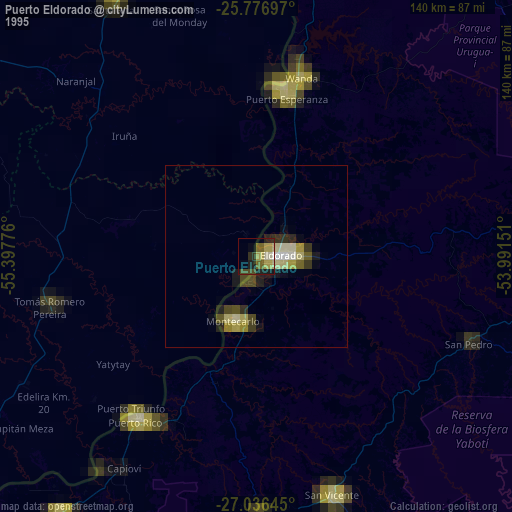
» NASA, Earths city lights 1995
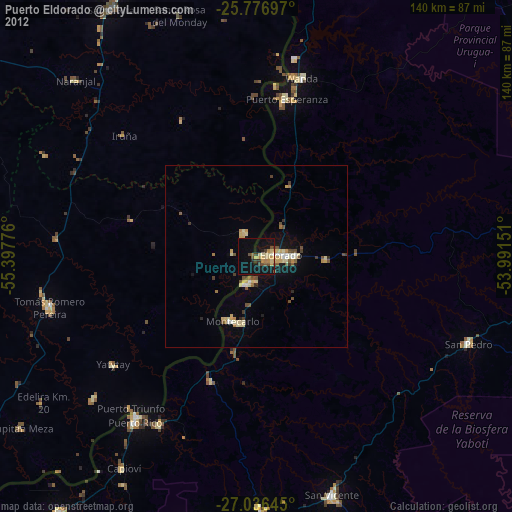
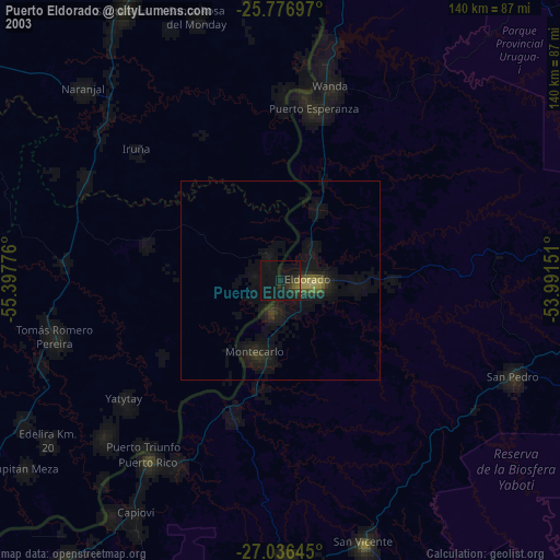
» NASA city lights 2003
» Earth at Night: Flat Maps 2012, 2016