Corzuela night lights from space
Night Light of Corzuela (Chaco) from space (Argentina) Src. Average luminocity for 10x10km area is 8.6885% and for 50x50km: 1.7679%.
Analysis of Corzuela night lights 2016
Square area 10x10 km:
 1.59%
1.59%90-99
2.38%80-89
0.79%70-79
1.59%60-69
0%50-59
0.2%40-49
1.39%30-39
0%20-29
1.79%10-19
0.99%0-9
89.29%Square area 50x50 km:
0.36%90-99
0.31%80-89
0.27%70-79
0.16%60-69
0.12%50-59
0.05%40-49
0.15%30-39
0.13%20-29
0.18%10-19
0.86%0-9
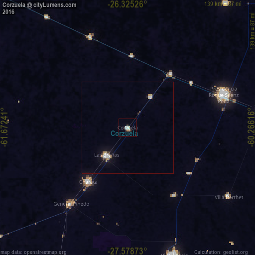
97.42%Clear (daylight) street map image can be seen on geolist.org.
Map coordinates:
26° 19' 30.9" South, 61° 40' 20.7" West
26° 57' 13.5" South, 60° 58' 9.4" West
27° 34' 43.4" South, 60° 15' 58.2" West
Some cities around Corzuela sort by population:
• Charata
36.2 km =22.5 mi,  216°
216°
• Las Breñas
18.8 km =11.7 mi, 216°
• General Pinedo
50.9 km =31.6 mi, 217°
• San Bernardo
45 km =28 mi,  145°
145°
• Campo Largo
21.2 km =13.2 mi,  36°
36°
• Pampa del Infierno
53.9 km =33.5 mi,  337°
337°
• Aviá Terai
38.2 km =23.7 mi, 38°
• Concepción del Bermejo
39.5 km =24.5 mi,  3°
3°
3859974 (p: 10,470)
Sources (retrieved 2019-11-25):
» Earth at Night: Flat Maps 2012, 2016