San Nicolás de los Arroyos night lights from space
Night Light of San Nicolás de los Arroyos (Buenos Aires) from space (Argentina) Src. Average luminocity for 10x10km area is 53.6066% and for 50x50km: 8.3288%.
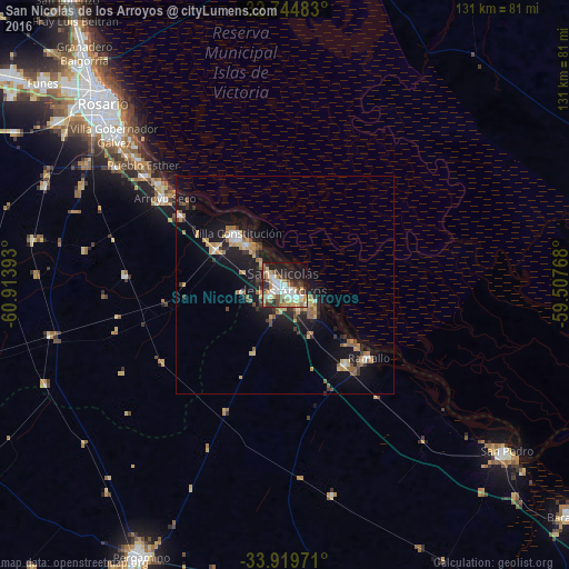
Analysis of San Nicolás de los Arroyos night lights 2016
Square area 10x10 km:
 10.49%
90-99
11.36%80-89
5.59%70-79
10.84%60-69
6.64%50-59
7.69%40-49
5.24%30-39
6.64%20-29
14.34%10-19
15.91%0-9
5.24%Square area 50x50 km:
0.81%90-99
0.88%80-89
1.1%70-79
1.4%60-69
1.3%50-59
1.2%40-49
0.63%30-39
1.32%20-29
2.07%10-19
7.88%0-9
81.42%Clear (daylight) street map image can be seen on geolist.org.
Map coordinates:
32° 44' 41.4" South, 60° 54' 50.1" West
33° 20' 3.3" South, 60° 12' 38.9" West
33° 55' 11" South, 59° 30' 27.6" West
Some cities around San Nicolás de los Arroyos sort by population:
• Rosario
58.7 km =36.5 mi,  317°
317°
• Pergamino
70.3 km =43.7 mi,  208°
208°
• Gobernador Gálvez
52.4 km =32.6 mi,  310°
310°
• San Pedro
63.4 km =39.4 mi,  127°
127°
• Villa Constitución
16.2 km =10.1 mi, 316°
• Granadero Baigorria
71 km =44.1 mi, 318°
• Pérez
63.9 km =39.7 mi, 305°
• Arroyo Seco
34.1 km =21.2 mi, 305°
3836846 (p: 127,742)
Sources (retrieved 2019-11-25):
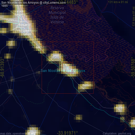
» NASA, Earths city lights 1995
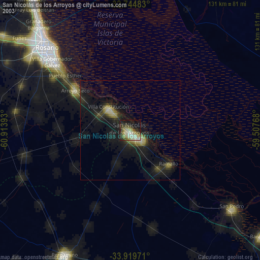
» NASA city lights 2003
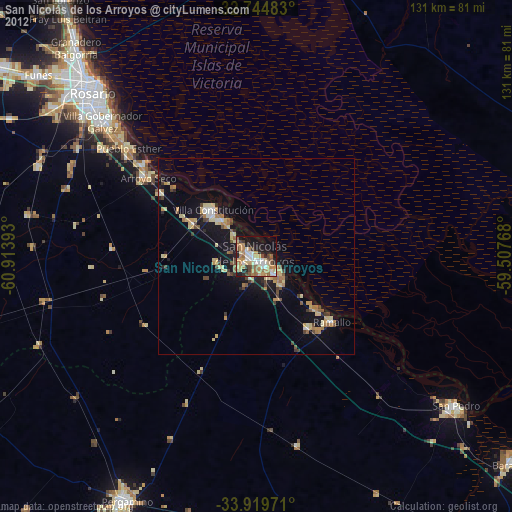
» Earth at Night: Flat Maps 2012, 2016