Gobernador Roca night lights from space
Night Light of Gobernador Roca (Misiones) from space (Argentina) Src. Average luminocity for 10x10km area is 4.8144% and for 50x50km: 3.5382%.
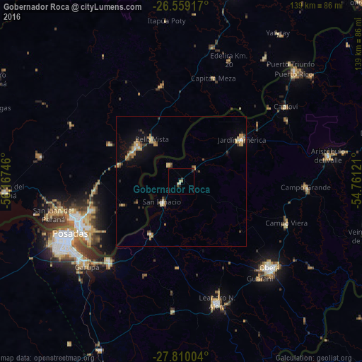
Analysis of Gobernador Roca night lights 2016
Square area 10x10 km:
 0.57%
0.57%90-99
0.19%80-89
1.52%70-79
0%60-69
0.76%50-59
0.38%40-49
0.38%30-39
1.14%20-29
1.7%10-19
0.19%0-9
93.18%Square area 50x50 km:
0.17%90-99
0.25%80-89
0.83%70-79
0.68%60-69
0.64%50-59
0.18%40-49
0.45%30-39
0.6%20-29
0.27%10-19
2.03%0-9
93.9%Clear (daylight) street map image can be seen on geolist.org.
Map coordinates:
26° 33' 33" South, 56° 10' 2.9" West
27° 11' 10.9" South, 55° 27' 51.6" West
27° 48' 36.1" South, 54° 45' 40.4" West
Some cities around Gobernador Roca sort by population:
• Posadas
47.2 km =29.3 mi,  244°
244°
• Encarnación, PY
42.9 km =26.7 mi,  248°
248°
• Jardín América
28.4 km =17.6 mi,  55°
55°
• Candelaria
41.1 km =25.5 mi,  222°
222°
• Campo Viera
43.5 km =27 mi,  111°
111°
• Obligado, PY
23.9 km =14.9 mi,  315°
315°
• Santo Pipó
7.4 km =4.6 mi,  47°
47°
• Hohenau, PY
21.7 km =13.5 mi,  305°
305°
3433743 (p: 6,315)
Sources (retrieved 2019-11-25):
» Earth at Night: Flat Maps 2012, 2016