Jardín América night lights from space
Night Light of Jardín América (Misiones) from space (Argentina) Src. Average luminocity for 10x10km area is 15.4603% and for 50x50km: 2.1417%.
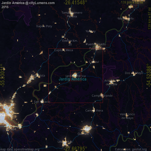
Analysis of Jardín América night lights 2016
Square area 10x10 km:
 0.79%
0.79%90-99
1.59%80-89
4.56%70-79
4.37%60-69
2.18%50-59
0%40-49
0.79%30-39
1.59%20-29
0.79%10-19
0.99%0-9
82.34%Square area 50x50 km:
0.08%90-99
0.11%80-89
0.55%70-79
0.31%60-69
0.34%50-59
0.24%40-49
0.32%30-39
0.6%20-29
0.29%10-19
0.36%0-9
96.8%Clear (daylight) street map image can be seen on geolist.org.
Map coordinates:
26° 24' 55.7" South, 55° 55' 48.4" West
27° 2' 36.5" South, 55° 13' 37.1" West
27° 40' 4.6" South, 54° 31' 25.9" West
Some cities around Jardín América sort by population:
• Aristóbulo del Valle
33.3 km =20.7 mi,  100°
100°
• Puerto Rico
34.1 km =21.2 mi,  36°
36°
• Campo Grande
30.5 km =19 mi,  126°
126°
• Campo Viera
36.3 km =22.6 mi,  152°
152°
• Garuhapé
36.7 km =22.8 mi,  46°
46°
• Gobernador Roca
28.4 km =17.6 mi,  235°
235°
• Capioví
20.7 km =12.9 mi, 52°
• Santo Pipó
21 km =13 mi, 238°
3433349 (p: 24,905)
Sources (retrieved 2019-11-25):
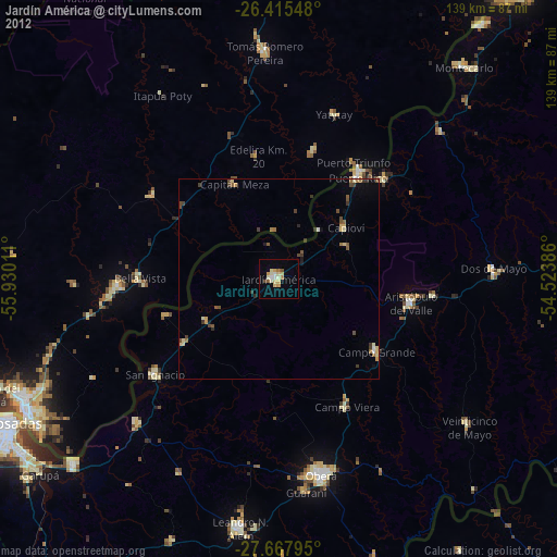
» Earth at Night: Flat Maps 2012, 2016