Belgrano night lights from space
Night Light of Belgrano (Buenos Aires F.D.) from space (Argentina) Src. Average luminocity for 10x10km area is 91.8287% and for 50x50km: 60.373%.
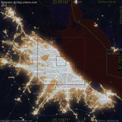
Analysis of Belgrano night lights 2016
Square area 10x10 km:
 70.8%
70.8%90-99
12.76%80-89
1.05%70-79
0%60-69
3.67%50-59
4.55%40-49
3.85%30-39
2.1%20-29
1.22%10-19
0%0-9
0%Square area 50x50 km:
36.71%90-99
11.83%80-89
2.87%70-79
4.53%60-69
2.83%50-59
2.69%40-49
2.14%30-39
2.16%20-29
2.35%10-19
3.61%0-9
28.29%Clear (daylight) street map image can be seen on geolist.org.
Map coordinates:
33° 58' 54" South, 59° 9' 41.1" West
34° 33' 45.7" South, 58° 27' 29.8" West
35° 8' 23" South, 57° 45' 18.6" West
Some cities around Belgrano sort by population:
• Buenos Aires
9.3 km =5.8 mi,  127°
127°
• Balvanera
7.7 km =4.8 mi, 133°
• Barracas
11.9 km =7.4 mi,  144°
144°
• Colegiales
1.5 km =0.9 mi,  145°
145°
• Boedo
8.7 km =5.4 mi, 154°
• Retiro
7.2 km =4.5 mi,  108°
108°
• Villa Santa Rita
5.7 km =3.5 mi,  201°
201°
• Villa Ortúzar
2.1 km =1.3 mi,  205°
205°
3436077 (p: 138,942)
Sources (retrieved 2019-11-25):
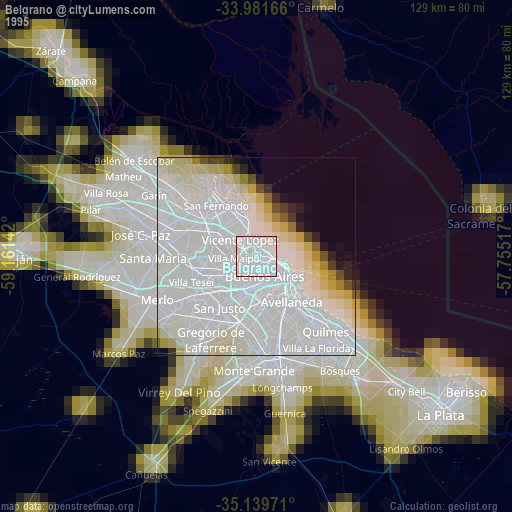
» NASA, Earths city lights 1995
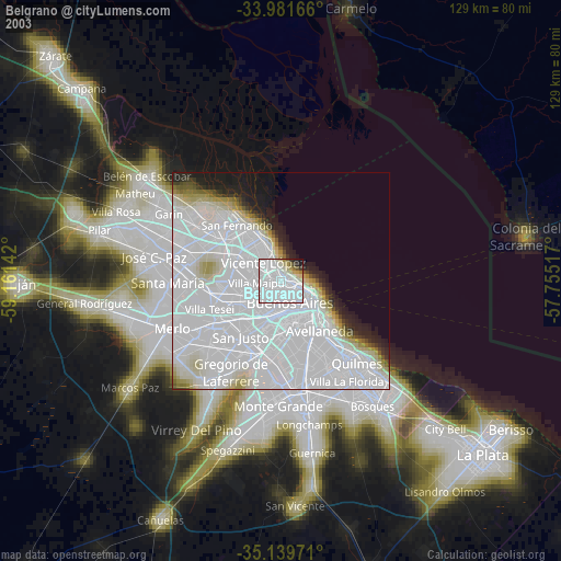
» NASA city lights 2003
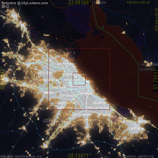
» Earth at Night: Flat Maps 2012, 2016