Delogožda night lights from space
Night Light of Delogožda (Struga) from space (North Macedonia) Src. Average luminocity for 10x10km area is 3.6737% and for 50x50km: 2.0018%.
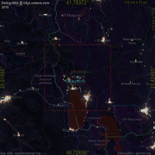
Analysis of Delogožda night lights 2016
Square area 10x10 km:
 0%
0%90-99
0%80-89
0%70-79
0%60-69
0.81%50-59
0.49%40-49
2.11%30-39
1.46%20-29
0.81%10-19
1.46%0-9
92.86%Square area 50x50 km:
0.14%90-99
0.3%80-89
0.09%70-79
0.17%60-69
0.23%50-59
0.44%40-49
0.44%30-39
0.52%20-29
0.32%10-19
1%0-9
96.35%Clear (daylight) street map image can be seen on geolist.org.
Map coordinates:
41° 47' 1.4" North, 20° 1' 7.2" East
41° 15' 26.2" North, 20° 43' 18.5" East
40° 43' 35.6" North, 21° 25' 29.7" East
Some cities around Delogožda sort by population:
• Ohrid
17 km =10.6 mi,  156°
156°
• Centar Župa
28.1 km =17.5 mi,  331°
331°
• Struga
9.6 km =6 mi,  202°
202°
• Resen
30.6 km =19 mi,  127°
127°
• Labunista
10.6 km =6.6 mi,  276°
276°
• Velesta
6.8 km =4.2 mi,  254°
254°
• Belčišta
10.4 km =6.5 mi,  60°
60°
• Vevčani
10.9 km =6.8 mi,  260°
260°
791548 (p: 8,413)
Sources (retrieved 2019-11-25):
» Earth at Night: Flat Maps 2012, 2016