Librazhd-Qendër night lights from space
Night Light of Librazhd-Qendër (Elbasan) from space (Albania) Src. Average luminocity for 10x10km area is 0.987% and for 50x50km: 1.31%.
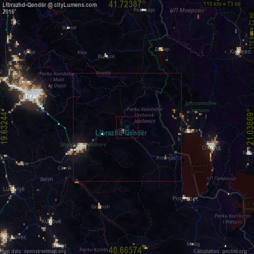
Analysis of Librazhd-Qendër night lights 2016
Square area 10x10 km:
 0%
0%90-99
0%80-89
0%70-79
0%60-69
0.16%50-59
0.49%40-49
0.32%30-39
0.65%20-29
0.49%10-19
0.49%0-9
97.4%Square area 50x50 km:
0.13%90-99
0.15%80-89
0.1%70-79
0.26%60-69
0.13%50-59
0.21%40-49
0.15%30-39
0.33%20-29
0.17%10-19
1.07%0-9
97.3%Clear (daylight) street map image can be seen on geolist.org.
Map coordinates:
41° 43' 25.9" North, 19° 37' 56.8" East
41° 11' 49" North, 20° 20' 8" East
40° 39' 56.7" North, 21° 2' 19.3" East
Some cities around Librazhd-Qendër sort by population:
• Elbasan
23.2 km =14.4 mi,  246°
246°
• Struga, MK
28.7 km =17.8 mi,  94°
94°
• Cërrik
35.3 km =21.9 mi,  238°
238°
• Bulqizë
34.1 km =21.2 mi,  343°
343°
• Labunista, MK
23.2 km =14.4 mi,  69°
69°
• Velesta, MK
26.2 km =16.3 mi,  79°
79°
• Delogožda, MK
33 km =20.5 mi, 78°
• Vevčani, MK
22.1 km =13.7 mi, 77°
832209 (p: 12,691)
Sources (retrieved 2019-11-25):
» Earth at Night: Flat Maps 2012, 2016