Elbasan night lights from space
Night Light of Elbasan from space (Albania) Src. Average luminocity for 10x10km area is 25.7565% and for 50x50km: 3.2506%.
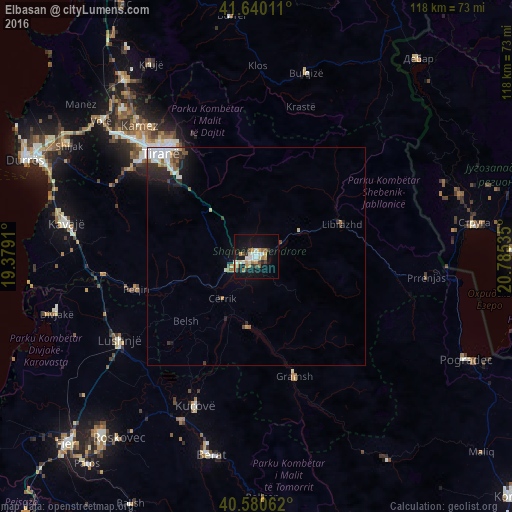
Analysis of Elbasan night lights 2016
Square area 10x10 km:
 3.25%
3.25%90-99
4.55%80-89
2.27%70-79
6.66%60-69
2.92%50-59
2.11%40-49
0.65%30-39
3.08%20-29
3.57%10-19
28.9%0-9
42.05%Square area 50x50 km:
0.53%90-99
0.75%80-89
0.22%70-79
0.41%60-69
0.27%50-59
0.41%40-49
0.25%30-39
0.46%20-29
0.81%10-19
2.22%0-9
93.67%Clear (daylight) street map image can be seen on geolist.org.
Map coordinates:
41° 38' 24.4" North, 19° 22' 44.8" East
41° 6' 45" North, 20° 4' 56" East
40° 34' 50.2" North, 20° 47' 7.3" East
Some cities around Elbasan sort by population:
• Tirana
32.5 km =20.2 mi,  317°
317°
• Lushnjë
36.9 km =22.9 mi,  239°
239°
• Kuçovë
37.4 km =23.2 mi,  201°
201°
• Cërrik
12.7 km =7.9 mi,  224°
224°
• Librazhd-Qendër
23.2 km =14.4 mi,  66°
66°
• Gramsh
28.3 km =17.6 mi,  162°
162°
• Peqin
28.7 km =17.8 mi,  255°
255°
• Rrogozhinë
35.2 km =21.9 mi, 263°
783263 (p: 100,903)
Sources (retrieved 2019-11-25):
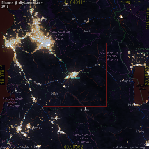
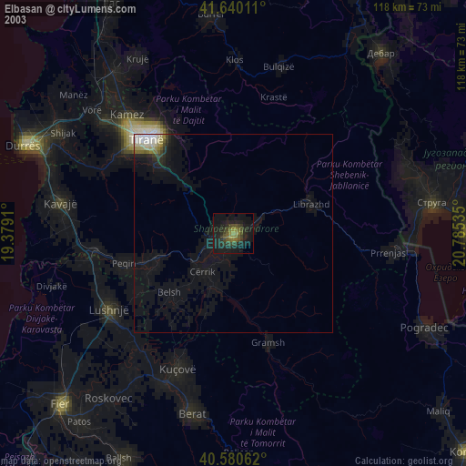
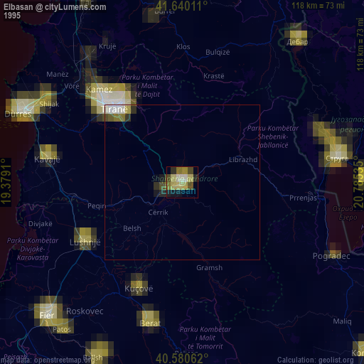
» NASA, Earths city lights 1995
» NASA city lights 2003
» Earth at Night: Flat Maps 2012, 2016