Lushnjë night lights from space
Night Light of Lushnjë (Fier) from space (Albania) Src. Average luminocity for 10x10km area is 9.4184% and for 50x50km: 3.5674%.
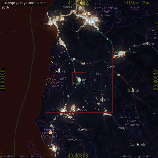
Analysis of Lushnjë night lights 2016
Square area 10x10 km:
 0.34%
0.34%90-99
1.7%80-89
1.87%70-79
0.85%60-69
0.51%50-59
0.85%40-49
2.21%30-39
2.55%20-29
2.21%10-19
0.85%0-9
86.05%Square area 50x50 km:
0.21%90-99
0.57%80-89
0.32%70-79
0.46%60-69
0.61%50-59
0.4%40-49
0.59%30-39
0.62%20-29
0.9%10-19
1.81%0-9
93.5%Clear (daylight) street map image can be seen on geolist.org.
Map coordinates:
41° 28' 15.3" North, 19° 0' 6.8" East
40° 56' 31" North, 19° 42' 18" East
40° 24' 31.2" North, 20° 24' 29.3" East
Some cities around Lushnjë sort by population:
• Fier-Çifçi
27.6 km =17.1 mi,  204°
204°
• Patos
29.6 km =18.4 mi,  194°
194°
• Fier
27.3 km =17 mi,  207°
207°
• Kuçovë
23.8 km =14.8 mi,  131°
131°
• Cërrik
24.8 km =15.4 mi,  66°
66°
• Peqin
12.2 km =7.6 mi,  18°
18°
• Roskovec
22.7 km =14.1 mi,  180°
180°
• Rrogozhinë
15.3 km =9.5 mi,  347°
347°
3184862 (p: 41,469)
Sources (retrieved 2019-11-25):
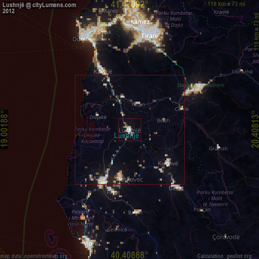
» Earth at Night: Flat Maps 2012, 2016