Saint John’s night lights from space
Night Light of Saint John’s (Saint John) from space (Antigua and Barbuda) Src. Average luminocity for 10x10km area is 65.4719% and for 50x50km: 6.1476%.
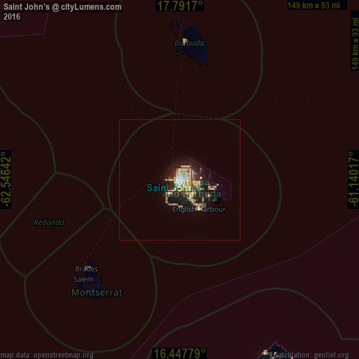
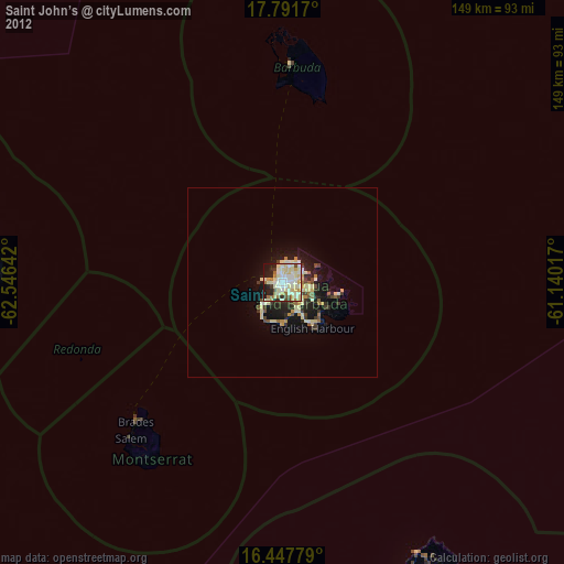
Analysis of Saint John’s night lights 2016
Square area 10x10 km:
 8.01%
8.01%90-99
14.07%80-89
21.65%70-79
18.18%60-69
3.9%50-59
0%40-49
6.28%30-39
6.06%20-29
11.47%10-19
10.17%0-9
0.22%Square area 50x50 km:
0.35%90-99
0.83%80-89
1.42%70-79
1.31%60-69
0.66%50-59
0.31%40-49
0.66%30-39
1.13%20-29
2.02%10-19
4.51%0-9
86.79%Clear (daylight) street map image can be seen on geolist.org.
Map coordinates:
17° 47' 30.1" North, 62° 32' 47.1" West
17° 7' 15.5" North, 61° 50' 35.8" West
16° 26' 52" North, 61° 8' 24.6" West
Some cities around Saint John’s sort by population:
• Market Shop, KN
77.5 km =48.2 mi,  270°
270°
• Piggotts
4.6 km =2.9 mi,  95°
95°
• Bolands
7 km =4.3 mi,  208°
208°
• Codrington
57 km =35.4 mi,  1°
1°
• Brades, MS
53.5 km =33.2 mi,  226°
226°
• Parham
8.2 km =5.1 mi,  109°
109°
• Falmouth
12.3 km =7.6 mi,  147°
147°
• Plymouth, MS
60.7 km =37.7 mi,  220°
220°
3576022 (p: 24,226)
Sources (retrieved 2019-11-25):
» Earth at Night: Flat Maps 2012, 2016