Piggotts night lights from space
Night Light of Piggotts (Saint George) from space (Antigua and Barbuda) Src. Average luminocity for 10x10km area is 66.381% and for 50x50km: 6.1476%.
Analysis of Piggotts night lights 2016
Square area 10x10 km:
 7.36%
7.36%90-99
12.34%80-89
19.05%70-79
18.61%60-69
8.87%50-59
1.73%40-49
7.14%30-39
10.17%20-29
9.96%10-19
4.76%0-9
0%Square area 50x50 km:
0.35%90-99
0.83%80-89
1.42%70-79
1.31%60-69
0.66%50-59
0.31%40-49
0.66%30-39
1.13%20-29
2.02%10-19
4.51%0-9
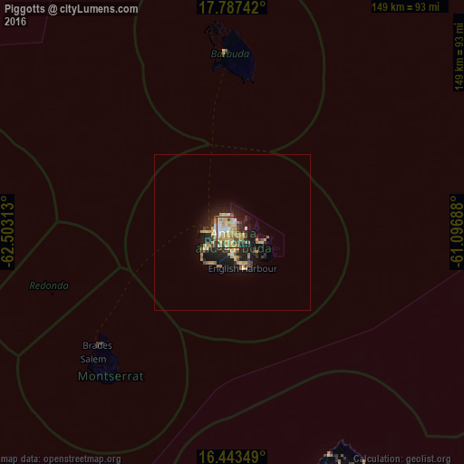
86.79%Clear (daylight) street map image can be seen on geolist.org.
Map coordinates:
17° 47' 14.7" North, 62° 30' 11.3" West
17° 7' 0" North, 61° 48' 0" West
16° 26' 36.6" North, 61° 5' 48.8" West
Some cities around Piggotts sort by population:
• Saint John’s
4.6 km =2.9 mi,  275°
275°
• Bolands
9.8 km =6.1 mi,  234°
234°
• Codrington
57.6 km =35.8 mi,  356°
356°
• Brades, MS
56.7 km =35.2 mi, 230°
• Parham
3.8 km =2.4 mi,  125°
125°
• Falmouth
10.1 km =6.3 mi,  168°
168°
• Plymouth, MS
63.4 km =39.4 mi,  223°
223°
• Saint Peters, MS
58.6 km =36.4 mi, 229°
3576057 (p: 1,878)
Sources (retrieved 2019-11-25):
» Earth at Night: Flat Maps 2012, 2016