Market Shop night lights from space
Night Light of Market Shop (Saint George Gingerland) from space (Saint Kitts and Nevis) Src. Average luminocity for 10x10km area is 17.5693% and for 50x50km: 2.8507%.
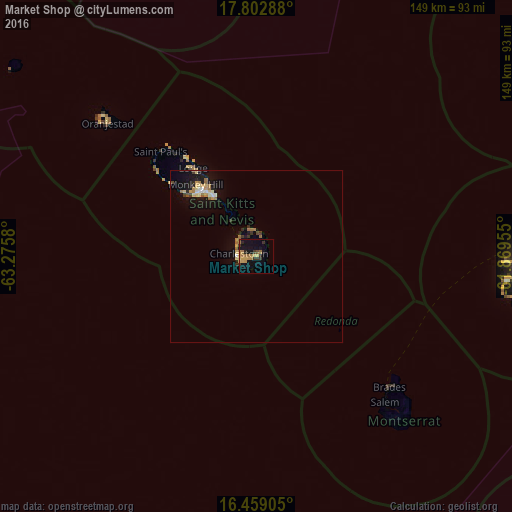
Analysis of Market Shop night lights 2016
Square area 10x10 km:
 0%
0%90-99
0%80-89
1.95%70-79
6.06%60-69
5.84%50-59
0.65%40-49
0.87%30-39
4.98%20-29
2.38%10-19
19.26%0-9
58.01%Square area 50x50 km:
0.14%90-99
0.21%80-89
0.47%70-79
0.48%60-69
0.72%50-59
0.29%40-49
0.1%30-39
0.47%20-29
0.31%10-19
2.86%0-9
93.96%Clear (daylight) street map image can be seen on geolist.org.
Map coordinates:
17° 48' 10.4" North, 63° 16' 32.9" West
17° 7' 55.8" North, 62° 34' 21.6" West
16° 27' 32.6" North, 61° 52' 10.4" West
Some cities around Market Shop sort by population:
• Basseterre
24.3 km =15.1 mi,  318°
318°
• Fig Tree
3.3 km =2.1 mi,  258°
258°
• Trinity
28.6 km =17.8 mi,  310°
310°
• Charlestown
4.7 km =2.9 mi,  271°
271°
• Cayon
29.6 km =18.4 mi, 324°
• Monkey Hill
27 km =16.8 mi, 321°
• Newcastle
7.6 km =4.7 mi,  351°
351°
• Cotton Ground
6 km =3.7 mi, 309°
3575296 (p: 2,568)
Sources (retrieved 2019-11-25):
» Earth at Night: Flat Maps 2012, 2016