Codrington night lights from space
Night Light of Codrington (Barbuda) from space (Antigua and Barbuda) Src. Average luminocity for 10x10km area is 2.2066% and for 50x50km: 0.0867%.
Analysis of Codrington night lights 2016
Square area 10x10 km:
 0%
0%90-99
0%80-89
0.83%70-79
0%60-69
0.83%50-59
0.83%40-49
0%30-39
0.83%20-29
0%10-19
0.83%0-9
95.87%Square area 50x50 km:
0%90-99
0%80-89
0.03%70-79
0%60-69
0.03%50-59
0.03%40-49
0%30-39
0.03%20-29
0%10-19
0.03%0-9
99.84%Clear (daylight) street map image can be seen on geolist.org.
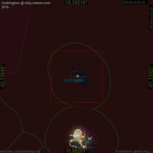
Map coordinates:
18° 18' 7.8" North, 62° 32' 11.3" West
17° 37' 60" North, 61° 49' 60" West
16° 57' 43.2" North, 61° 7' 48.8" West
Some cities around Codrington sort by population:
• Saint John’s
57 km =35.4 mi,  181°
181°
• Market Shop, KN
96.2 km =59.8 mi,  234°
234°
• Piggotts
57.6 km =35.8 mi, 176°
• Bolands
63.3 km =39.3 mi, 183°
• Parham
60 km =37.3 mi,  173°
173°
• Falmouth
67.6 km =42 mi, 175°
• Newcastle, KN
93 km =57.8 mi,  238°
238°
• Cotton Ground, KN
98 km =60.9 mi, 238°
3576311 (p: 1,325)
Sources (retrieved 2019-11-25):
» Earth at Night: Flat Maps 2012, 2016