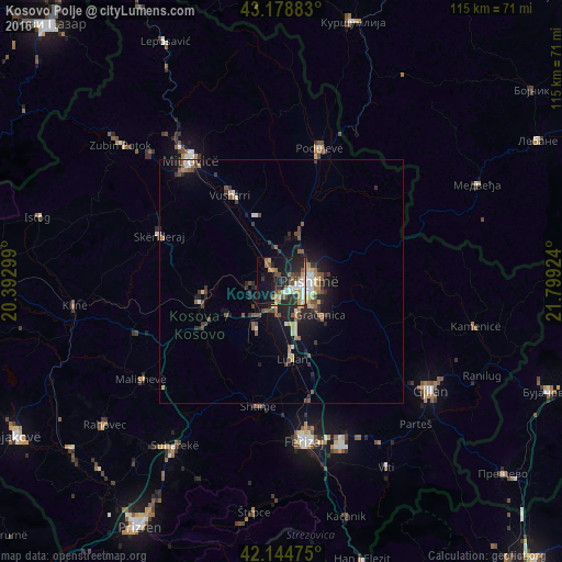
Kosovo Polje night lights from space
Night Light of Kosovo Polje (Pristina) from space (Kosovo) Src. Average luminocity for 10x10km area is 34.5561% and for 50x50km: 5.3569%.
Analysis of Kosovo Polje night lights 2016
Square area 10x10 km:
 5.15%
5.15%90-99
5.61%80-89
2.12%70-79
7.58%60-69
3.64%50-59
4.09%40-49
4.24%30-39
4.7%20-29
15.61%10-19
25.3%0-9
21.97%Square area 50x50 km:
0.48%90-99
0.65%80-89
0.56%70-79
0.68%60-69
0.61%50-59
0.84%40-49
1%30-39
1.02%20-29
1.78%10-19
4.1%0-9
88.27%Clear (daylight) street map image can be seen on geolist.org.
Map coordinates:
43° 10' 43.8" North, 20° 23' 34.8" East
42° 39' 50.2" North, 21° 5' 46" East
42° 8' 41.1" North, 21° 47' 57.3" East
Some cities around Kosovo Polje sort by population:
• Pristina
5.9 km =3.7 mi,  80°
80°
• Glogovac
17 km =10.6 mi,  256°
256°
• Shtime
26.1 km =16.2 mi,  190°
190°
• Vushtrri
20.6 km =12.8 mi,  329°
329°
• Obiliq
3.3 km =2.1 mi,  320°
320°
• Lipljan
16 km =9.9 mi,  171°
171°
• Novo Brdo
28.2 km =17.5 mi,  100°
100°
• Srbica
26.8 km =16.7 mi,  290°
290°
789228 (p: 16,154)
Sources (retrieved 2019-11-25):
» Earth at Night: Flat Maps 2012, 2016