Deçan night lights from space
Night Light of Deçan (Gjakova) from space (Kosovo) Src. Average luminocity for 10x10km area is 2.0238% and for 50x50km: 1.7218%.
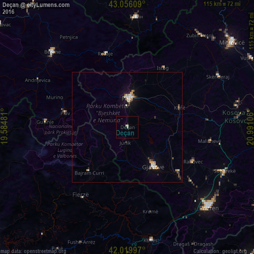
Analysis of Deçan night lights 2016
Square area 10x10 km:
 0%
0%90-99
0.63%80-89
1.11%70-79
0.16%60-69
0%50-59
0%40-49
0%30-39
0%20-29
0.32%10-19
0.32%0-9
97.46%Square area 50x50 km:
0.18%90-99
0.32%80-89
0.26%70-79
0.19%60-69
0.16%50-59
0.25%40-49
0.13%30-39
0.21%20-29
0.21%10-19
0.74%0-9
97.34%Clear (daylight) street map image can be seen on geolist.org.
Map coordinates:
43° 3' 21.9" North, 19° 35' 5.3" East
42° 32' 24.6" North, 20° 17' 16.5" East
42° 1' 11.9" North, 20° 59' 27.8" East
Some cities around Deçan sort by population:
• Gjakovë
21.3 km =13.2 mi,  146°
146°
• Peć
13.2 km =8.2 mi,  0°
0°
• Istok
31.3 km =19.4 mi,  31°
31°
• Orahovac
33.9 km =21.1 mi,  117°
117°
• Klina
25.4 km =15.8 mi,  69°
69°
• Strellc i Epërm
4.3 km =2.7 mi,  6°
6°
• Isniq
2.3 km =1.4 mi, 32°
• Plav, ME
28.7 km =17.8 mi,  282°
282°
791580 (p: 50,500)
Sources (retrieved 2019-11-25):
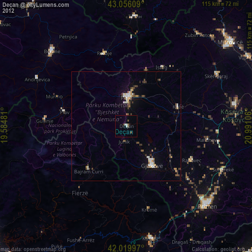
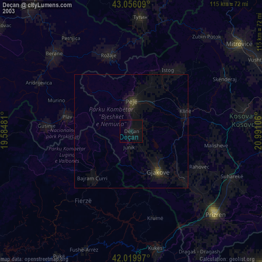
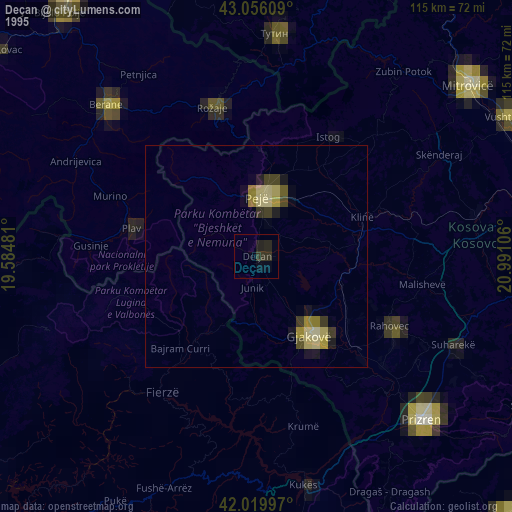
» NASA, Earths city lights 1995
» NASA city lights 2003
» Earth at Night: Flat Maps 2012, 2016