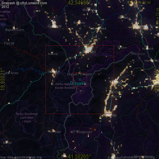
Dragash night lights from space
Night Light of Dragash (Prizren) from space (Kosovo) Src. Average luminocity for 10x10km area is 0.481% and for 50x50km: 2.4661%.
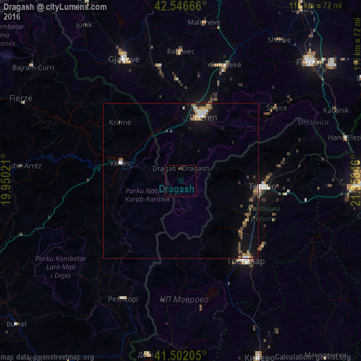
Analysis of Dragash night lights 2016
Square area 10x10 km:
 0%
0%90-99
0%80-89
0%70-79
0%60-69
0%50-59
0%40-49
0%30-39
1.11%20-29
0.16%10-19
0.16%0-9
98.57%Square area 50x50 km:
0.2%90-99
0.31%80-89
0.19%70-79
0.36%60-69
0.3%50-59
0.54%40-49
0.4%30-39
0.25%20-29
0.34%10-19
2.19%0-9
94.92%Clear (daylight) street map image can be seen on geolist.org.
Map coordinates:
42° 32' 48" North, 19° 57' 0.8" East
42° 1' 35.4" North, 20° 39' 12" East
41° 30' 7.4" North, 21° 21' 23.3" East
Some cities around Dragash sort by population:
• Prizren
22 km =13.7 mi,  18°
18°
• Tetovo, MK
26.4 km =16.4 mi,  94°
94°
• Kukës, AL
19.9 km =12.4 mi,  286°
286°
• Negotino, MK
25.2 km =15.7 mi,  130°
130°
• Brvenica, MK
27.9 km =17.3 mi,  103°
103°
• Kamenjane, MK
24.5 km =15.2 mi,  111°
111°
• Bogovinje, MK
24.4 km =15.2 mi,  118°
118°
• Šipkovica, MK
21.7 km =13.5 mi, 87°
791122 (p: 35,000)
Sources (retrieved 2019-11-25):
» Earth at Night: Flat Maps 2012, 2016