Kukës night lights from space
Night Light of Kukës from space (Albania) Src. Average luminocity for 10x10km area is 2.554% and for 50x50km: 0.7667%.
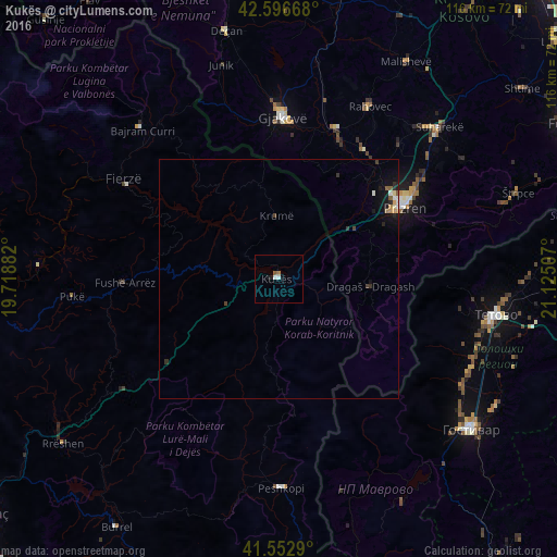
Analysis of Kukës night lights 2016
Square area 10x10 km:
 0.79%
0.79%90-99
0.48%80-89
0%70-79
0%60-69
0.63%50-59
0.63%40-49
0%30-39
0%20-29
0.32%10-19
0.95%0-9
96.19%Square area 50x50 km:
0.08%90-99
0.12%80-89
0.07%70-79
0.08%60-69
0.08%50-59
0.13%40-49
0.08%30-39
0.16%20-29
0.15%10-19
0.67%0-9
98.4%Clear (daylight) street map image can be seen on geolist.org.
Map coordinates:
42° 35' 48" North, 19° 43' 7.8" East
42° 4' 37" North, 20° 25' 19" East
41° 33' 10.4" North, 21° 7' 30.3" East
Some cities around Kukës sort by population:
• Prizren, XK
30.3 km =18.8 mi,  59°
59°
• Gjakovë, XK
33.7 km =20.9 mi,  1°
1°
• Dragash, XK
19.9 km =12.4 mi,  106°
106°
• Orahovac, XK
40.7 km =25.3 mi,  28°
28°
• Peshkopi
43.6 km =27.1 mi,  179°
179°
• Šipkovica, MK
41 km =25.5 mi,  96°
96°
• Pukë
43.3 km =26.9 mi,  265°
265°
• Mamuša, XK
37.8 km =23.5 mi,  41°
41°
782661 (p: 17,832)
Sources (retrieved 2019-11-25):
» Earth at Night: Flat Maps 2012, 2016