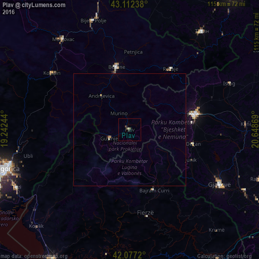
Plav night lights from space
Night Light of Plav (Opština Plav) from space (Montenegro) Src. Average luminocity for 10x10km area is 1.9515% and for 50x50km: 0.2147%.
Analysis of Plav night lights 2016
Square area 10x10 km:
 0%
0%90-99
0.15%80-89
0.45%70-79
0%60-69
0%50-59
0.76%40-49
1.06%30-39
0.61%20-29
0%10-19
0.61%0-9
96.36%Square area 50x50 km:
0%90-99
0.03%80-89
0.04%70-79
0.03%60-69
0.03%50-59
0.03%40-49
0.04%30-39
0.03%20-29
0.03%10-19
0.03%0-9
99.72%Clear (daylight) street map image can be seen on geolist.org.
Map coordinates:
43° 6' 44.6" North, 19° 14' 32.8" East
42° 35' 49" North, 19° 56' 44" East
42° 4' 37.9" North, 20° 38' 55.3" East
Some cities around Plav sort by population:
• Deçan, XK
28.7 km =17.8 mi,  102°
102°
• Peć, XK
28.9 km =18 mi,  76°
76°
• Berane
27.9 km =17.3 mi,  347°
347°
• Rožaje
31.9 km =19.8 mi,  34°
34°
• Strellc i Epërm, XK
28.6 km =17.8 mi,  94°
94°
• Isniq, XK
29.6 km =18.4 mi, 98°
• Andrijevica
19.7 km =12.2 mi,  320°
320°
• Gusinje
9.9 km =6.2 mi,  246°
246°
3193228 (p: 3,615)
Sources (retrieved 2019-11-25):
» Earth at Night: Flat Maps 2012, 2016