Thái Bình night lights from space
Night Light of Thái Bình from space (Vietnam) Src. Average luminocity for 10x10km area is 38.0928% and for 50x50km: 7.8345%.
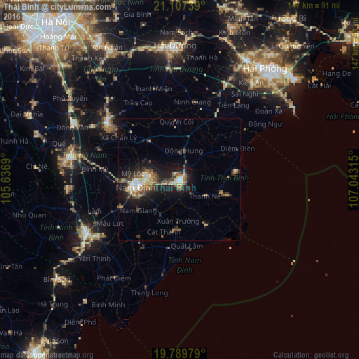
Analysis of Thái Bình night lights 2016
Square area 10x10 km:
 3.98%
3.98%90-99
3.79%80-89
8.33%70-79
3.98%60-69
7.58%50-59
7.01%40-49
3.03%30-39
7.39%20-29
7.2%10-19
38.45%0-9
9.28%Square area 50x50 km:
0.63%90-99
0.91%80-89
1.08%70-79
1.05%60-69
1.09%50-59
1.31%40-49
1.41%30-39
1.64%20-29
1.8%10-19
6.67%0-9
82.41%Clear (daylight) street map image can be seen on geolist.org.
Map coordinates:
21° 6' 26.6" North, 105° 38' 12.8" East
20° 27' 0" North, 106° 20' 24.1" East
19° 47' 23.2" North, 107° 2' 35.3" East
Some cities around Thái Bình sort by population:
• Haiphong
58.3 km =36.2 mi,  37°
37°
• Nam Định
17 km =10.6 mi,  263°
263°
• Thành Phố Uông Bí
78.9 km =49 mi,  34°
34°
• Hải Dương
54.6 km =33.9 mi,  359°
359°
• Bỉm Sơn
64.9 km =40.3 mi,  230°
230°
• Hưng Yên
37.2 km =23.1 mi,  305°
305°
• Ninh Bình
43.2 km =26.8 mi,  240°
240°
• Phủ Lý
45.8 km =28.5 mi,  283°
283°
1566346 (p: 53,071)
Sources (retrieved 2019-11-25):
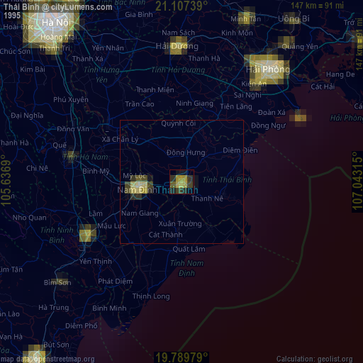
» NASA, Earths city lights 1995
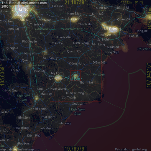
» NASA city lights 2003
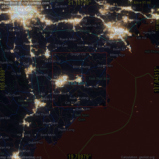
» Earth at Night: Flat Maps 2012, 2016