Hải Dương night lights from space
Night Light of Hải Dương from space (Vietnam) Src. Average luminocity for 10x10km area is 48.7857% and for 50x50km: 12.3199%.
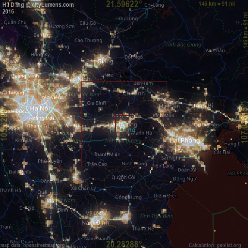
Analysis of Hải Dương night lights 2016
Square area 10x10 km:
 4.76%
4.76%90-99
6.94%80-89
13.1%70-79
8.13%60-69
5.16%50-59
3.77%40-49
8.93%30-39
11.31%20-29
16.07%10-19
20.83%0-9
0.99%Square area 50x50 km:
0.51%90-99
0.63%80-89
2.15%70-79
1.78%60-69
1.82%50-59
1.54%40-49
1.8%30-39
3.32%20-29
4.25%10-19
11.32%0-9
70.88%Clear (daylight) street map image can be seen on geolist.org.
Map coordinates:
21° 35' 46.4" North, 105° 37' 47.6" East
20° 56' 27.6" North, 106° 19' 58.9" East
20° 16' 58.4" North, 107° 2' 10.1" East
Some cities around Hải Dương sort by population:
• Hanoi
51.9 km =32.2 mi,  280°
280°
• Haiphong
37.4 km =23.2 mi,  103°
103°
• Cung Kiệm
32.7 km =20.3 mi,  326°
326°
• Thành Phố Uông Bí
46.6 km =29 mi,  77°
77°
• Bắc Giang
39.6 km =24.6 mi,  338°
338°
• Thái Bình
54.6 km =33.9 mi,  179°
179°
• Bắc Ninh
38.1 km =23.7 mi,  315°
315°
• Hưng Yên
44 km =27.3 mi,  221°
221°
1581326 (p: 58,030)
Sources (retrieved 2019-11-25):
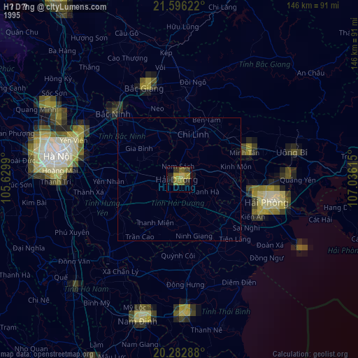
» NASA, Earths city lights 1995
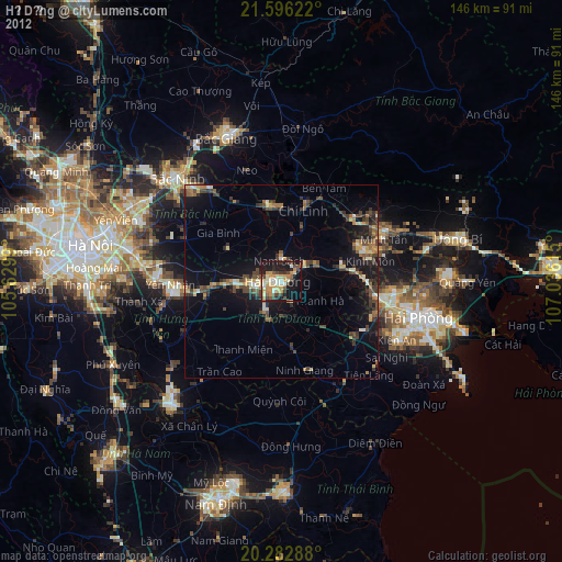
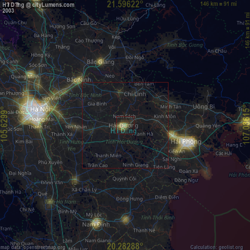
» NASA city lights 2003
» Earth at Night: Flat Maps 2012, 2016