Hạ Long night lights from space
Night Light of Hạ Long (Quảng Ninh) from space (Vietnam) Src. Average luminocity for 10x10km area is 54.8056% and for 50x50km: 12.2692%.
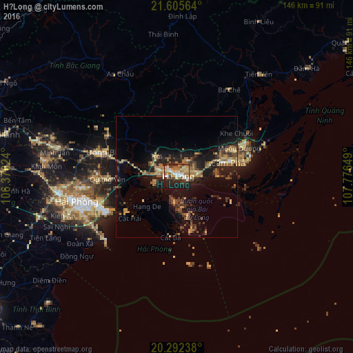
Analysis of Hạ Long night lights 2016
Square area 10x10 km:
 9.52%
9.52%90-99
8.93%80-89
12.3%70-79
7.14%60-69
12.1%50-59
3.77%40-49
4.37%30-39
6.94%20-29
14.68%10-19
19.84%0-9
0.4%Square area 50x50 km:
0.47%90-99
0.56%80-89
2.12%70-79
1.93%60-69
2.4%50-59
2.02%40-49
2.09%30-39
2.29%20-29
4.39%10-19
10.07%0-9
71.66%Clear (daylight) street map image can be seen on geolist.org.
Map coordinates:
21° 36' 20.3" North, 106° 22' 12.9" East
20° 57' 1.6" North, 107° 4' 24.1" East
20° 17' 32.6" North, 107° 46' 35.4" East
Some cities around Hạ Long sort by population:
• Haiphong
41.6 km =25.8 mi,  256°
256°
• Cẩm Phả Mines
24.7 km =15.3 mi,  72°
72°
• Cung Kiệm
98.3 km =61.1 mi,  285°
285°
• Thành Phố Uông Bí
32.8 km =20.4 mi, 286°
• Hải Dương
76.9 km =47.8 mi,  269°
269°
• Bắc Giang
98 km =60.9 mi, 291°
• Thái Bình
94.4 km =58.7 mi,  233°
233°
• Cát Bà
24.9 km =15.5 mi,  186°
186°
1580410 (p: 148,066)
Sources (retrieved 2019-11-25):
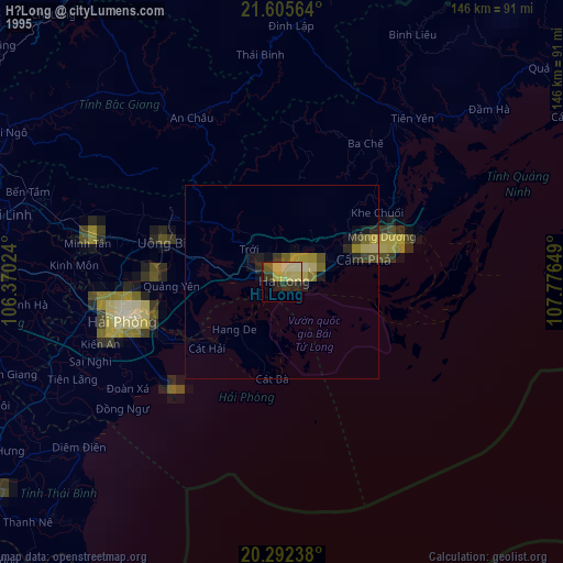
» NASA, Earths city lights 1995
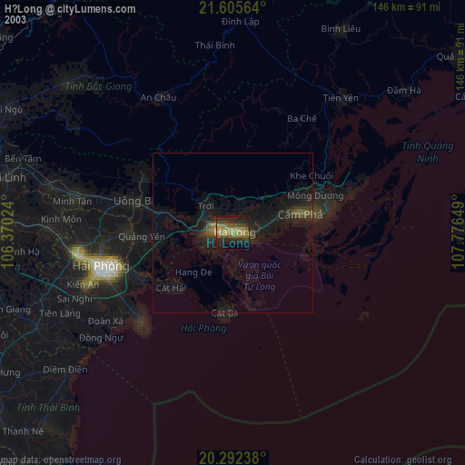
» NASA city lights 2003
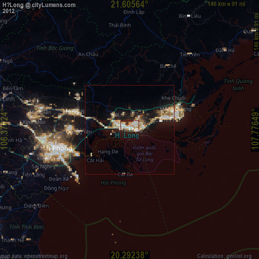
» Earth at Night: Flat Maps 2012, 2016