San Juan de los Morros night lights from space
Night Light of San Juan de los Morros (Guárico) from space (Venezuela) Src. Average luminocity for 10x10km area is 42.312% and for 50x50km: 7.5011%.
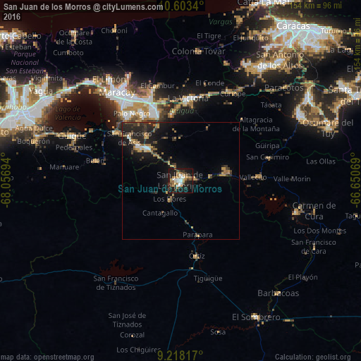
Analysis of San Juan de los Morros night lights 2016
Square area 10x10 km:
 6.2%
6.2%90-99
7.64%80-89
2.27%70-79
8.68%60-69
8.26%50-59
4.55%40-49
5.17%30-39
5.99%20-29
10.74%10-19
36.78%0-9
3.72%Square area 50x50 km:
0.46%90-99
0.62%80-89
0.41%70-79
1.49%60-69
1.37%50-59
0.82%40-49
0.99%30-39
1.68%20-29
3.44%10-19
7.05%0-9
81.64%Clear (daylight) street map image can be seen on geolist.org.
Map coordinates:
10° 36' 12.2" North, 68° 3' 25" West
9° 54' 41.5" North, 67° 21' 13.7" West
9° 13' 5.4" North, 66° 39' 2.5" West
Some cities around San Juan de los Morros sort by population:
• Maracay
44.4 km =27.6 mi,  324°
324°
• Turmero
37.6 km =23.4 mi,  339°
339°
• Palo Negro
35.7 km =22.2 mi, 324°
• Cagua
32.7 km =20.3 mi, 339°
• La Victoria
35.1 km =21.8 mi,  4°
4°
• Villa de Cura
20.5 km =12.7 mi,  313°
313°
• San Mateo
34.4 km =21.4 mi,  347°
347°
• Las Tejerías
42.9 km =26.7 mi,  27°
27°
3628053 (p: 87,739)
Sources (retrieved 2019-11-25):
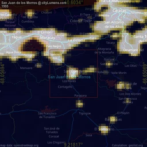
» NASA, Earths city lights 1995
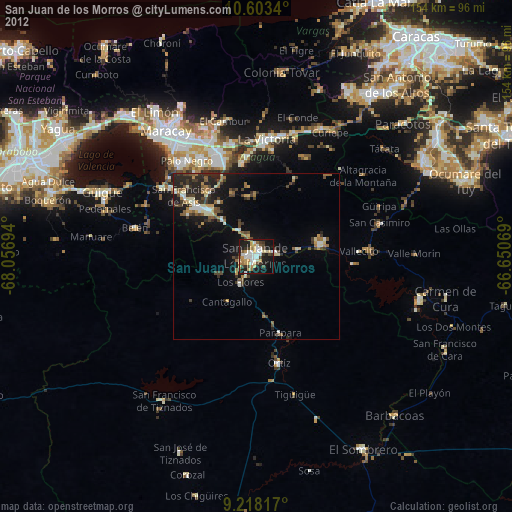
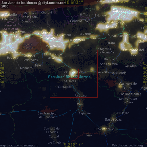
» NASA city lights 2003
» Earth at Night: Flat Maps 2012, 2016