Palo Negro night lights from space
Night Light of Palo Negro (Aragua) from space (Venezuela) Src. Average luminocity for 10x10km area is 77.376% and for 50x50km: 22.9666%.
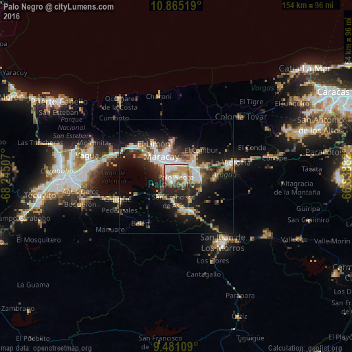
Analysis of Palo Negro night lights 2016
Square area 10x10 km:
 22.52%
90-99
20.66%80-89
3.31%70-79
18.8%60-69
14.46%50-59
6.61%40-49
6.2%30-39
4.34%20-29
3.1%10-19
0%0-9
0%Square area 50x50 km:
3.9%90-99
3.89%80-89
1.17%70-79
4.05%60-69
3.64%50-59
2.64%40-49
3.01%30-39
3.72%20-29
7.05%10-19
14.24%0-9
52.69%Clear (daylight) street map image can be seen on geolist.org.
Map coordinates:
10° 51' 54.7" North, 68° 14' 42.3" West
10° 10' 26" North, 67° 32' 31" West
9° 28' 51.9" North, 66° 50' 19.8" West
Some cities around Palo Negro sort by population:
• Maracay
8.7 km =5.4 mi,  321°
321°
• Turmero
9.6 km =6 mi,  50°
50°
• El Limón
17.7 km =11 mi,  326°
326°
• Cagua
9.1 km =5.7 mi,  81°
81°
• Mariara
23.5 km =14.6 mi,  305°
305°
• La Victoria
23.8 km =14.8 mi, 75°
• Villa de Cura
16.1 km =10 mi,  159°
159°
• San Mateo
13.7 km =8.5 mi,  71°
71°
3630932 (p: 128,875)
Sources (retrieved 2019-11-25):
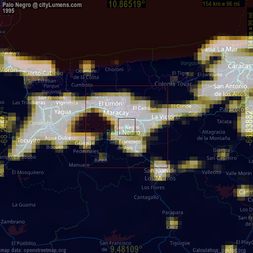
» NASA, Earths city lights 1995
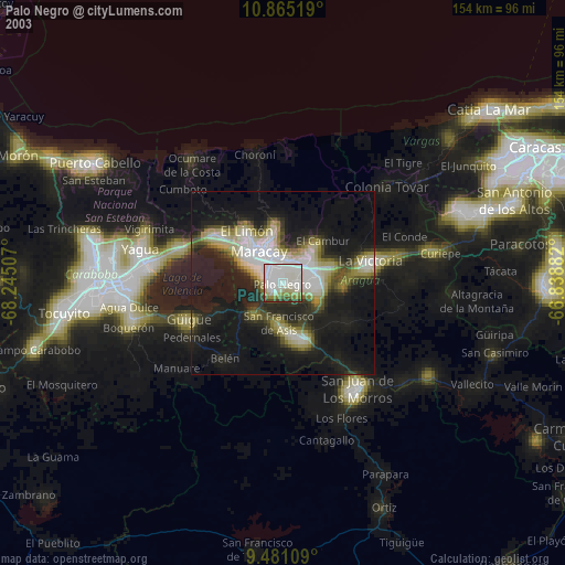
» NASA city lights 2003
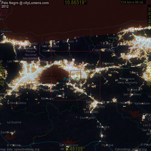
» Earth at Night: Flat Maps 2012, 2016