Punta Cardón night lights from space
Night Light of Punta Cardón (Falcón) from space (Venezuela) Src. Average luminocity for 10x10km area is 78.2835% and for 50x50km: 13.2123%.
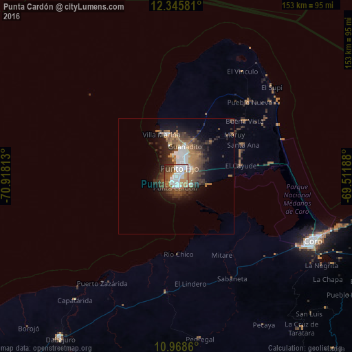
Analysis of Punta Cardón night lights 2016
Square area 10x10 km:
 27.06%
90-99
22.94%80-89
2.38%70-79
4.55%60-69
18.61%50-59
8.87%40-49
10.17%30-39
3.9%20-29
1.52%10-19
0%0-9
0%Square area 50x50 km:
2.29%90-99
2.1%80-89
0.44%70-79
0.58%60-69
3.56%50-59
2.05%40-49
2.92%30-39
3.34%20-29
3.09%10-19
5.85%0-9
73.78%Clear (daylight) street map image can be seen on geolist.org.
Map coordinates:
12° 20' 44.9" North, 70° 55' 5.3" West
11° 39' 29" North, 70° 12' 54" West
10° 58' 7" North, 69° 30' 42.8" West
Some cities around Punta Cardón sort by population:
• Coro
65.4 km =40.6 mi,  115°
115°
• Punto Fijo
4.1 km =2.5 mi,  24°
24°
• Oranjestad, AW
98.4 km =61.1 mi,  11°
11°
• Tanki Leendert, AW
100.2 km =62.3 mi, 12°
• San Nicolas, AW
92.8 km =57.7 mi, 21°
• Santa Cruz, AW
98 km =60.9 mi, 15°
• Paradera, AW
100.1 km =62.2 mi, 13°
• Savaneta, AW
93.1 km =57.8 mi, 18°
3629614 (p: 58,926)
Sources (retrieved 2019-11-25):
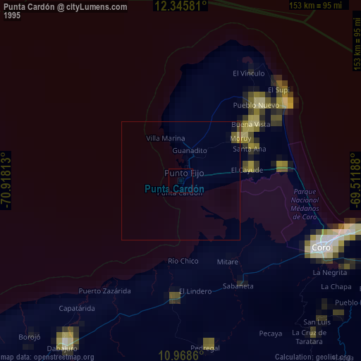
» NASA, Earths city lights 1995
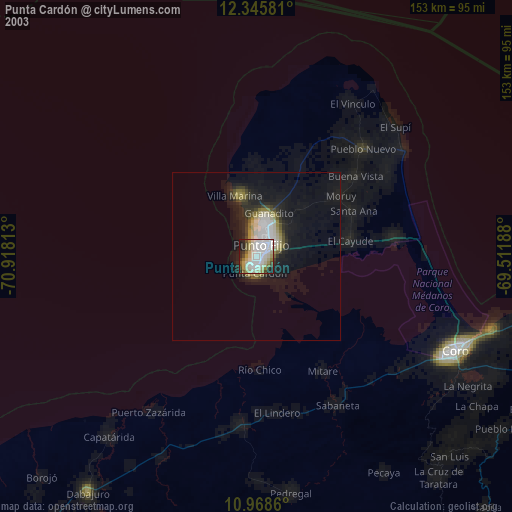
» NASA city lights 2003
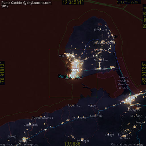
» Earth at Night: Flat Maps 2012, 2016