Guarenas night lights from space
Night Light of Guarenas (Miranda) from space (Venezuela) Src. Average luminocity for 10x10km area is 44.7769% and for 50x50km: 15.0926%.
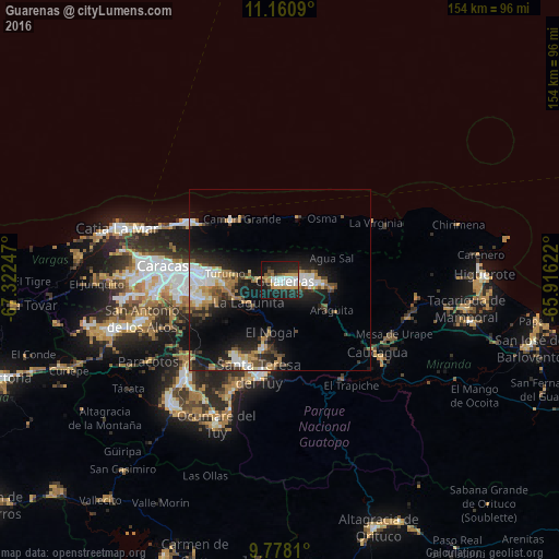
Analysis of Guarenas night lights 2016
Square area 10x10 km:
 9.71%
9.71%90-99
9.3%80-89
2.69%70-79
9.5%60-69
3.51%50-59
3.51%40-49
2.48%30-39
4.34%20-29
19.42%10-19
33.88%0-9
1.65%Square area 50x50 km:
2.87%90-99
2.15%80-89
1.3%70-79
1.81%60-69
2.79%50-59
1.09%40-49
1.88%30-39
2.39%20-29
4.35%10-19
11.35%0-9
68.02%Clear (daylight) street map image can be seen on geolist.org.
Map coordinates:
11° 9' 39.2" North, 67° 19' 20.9" West
10° 28' 13" North, 66° 37' 9.6" West
9° 46' 41.2" North, 65° 54' 58.4" West
Some cities around Guarenas sort by population:
• Petare
20.6 km =12.8 mi,  272°
272°
• Guatire
8.4 km =5.2 mi,  87°
87°
• El Cafetal
23 km =14.3 mi, 268°
• Caucaguita
23.6 km =14.7 mi,  238°
238°
• Los Dos Caminos
23 km =14.3 mi,  276°
276°
• El Hatillo
23.2 km =14.4 mi,  257°
257°
• La Dolorita
18.3 km =11.4 mi, 276°
• Caucagüito
13.1 km =8.1 mi, 277°
3640049 (p: 181,612)
Sources (retrieved 2019-11-25):
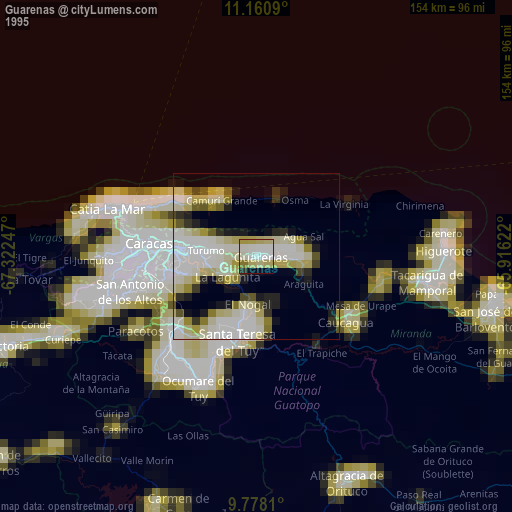
» NASA, Earths city lights 1995
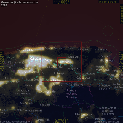
» NASA city lights 2003
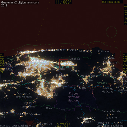
» Earth at Night: Flat Maps 2012, 2016