Kosonsoy night lights from space
Night Light of Kosonsoy (Namangan) from space (Uzbekistan) Src. Average luminocity for 10x10km area is 21.3831% and for 50x50km: 7.1049%.
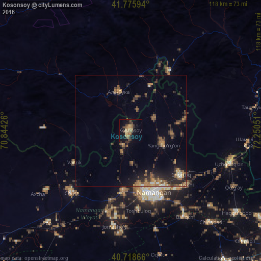
Analysis of Kosonsoy night lights 2016
Square area 10x10 km:
 0%
0%90-99
0.16%80-89
4.71%70-79
3.73%60-69
4.06%50-59
6.82%40-49
2.44%30-39
4.22%20-29
2.11%10-19
19.97%0-9
51.79%Square area 50x50 km:
0.19%90-99
0.32%80-89
0.59%70-79
1.02%60-69
1.43%50-59
1.74%40-49
1.49%30-39
1.58%20-29
2.82%10-19
3.95%0-9
84.86%Clear (daylight) street map image can be seen on geolist.org.
Map coordinates:
41° 46' 33.4" North, 70° 50' 39.3" East
41° 14' 58" North, 71° 32' 50.6" East
40° 43' 7.2" North, 72° 15' 1.8" East
Some cities around Kosonsoy sort by population:
• Namangan
29.8 km =18.5 mi,  159°
159°
• Chust
37.7 km =23.4 mi,  223°
223°
• Chortoq
30.6 km =19 mi,  130°
130°
• Uychi
36.6 km =22.7 mi,  120°
120°
• Toshbuloq
37.1 km =23.1 mi,  176°
176°
• Yangiqo‘rg‘on
16 km =9.9 mi,  112°
112°
• To‘rqao‘rg‘on
27.9 km =17.3 mi,  186°
186°
• Kerben, KG
32.4 km =20.1 mi,  32°
32°
1513714 (p: 43,684)
Sources (retrieved 2019-11-25):
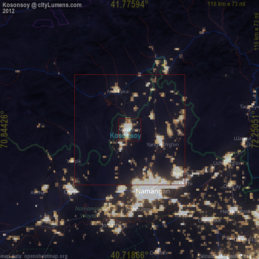
» Earth at Night: Flat Maps 2012, 2016