Chust night lights from space
Night Light of Chust (Namangan) from space (Uzbekistan) Src. Average luminocity for 10x10km area is 19.7874% and for 50x50km: 6.2523%.
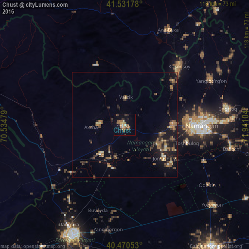
Analysis of Chust night lights 2016
Square area 10x10 km:
 0.85%
0.85%90-99
1.7%80-89
0.34%70-79
3.23%60-69
4.76%50-59
8.33%40-49
1.36%30-39
3.23%20-29
4.25%10-19
9.01%0-9
62.93%Square area 50x50 km:
0.18%90-99
0.34%80-89
0.5%70-79
0.75%60-69
1.27%50-59
1.57%40-49
1.02%30-39
1.71%20-29
1.92%10-19
4.71%0-9
86.03%Clear (daylight) street map image can be seen on geolist.org.
Map coordinates:
41° 31' 54.4" North, 70° 32' 5.2" East
41° 0' 11.8" North, 71° 14' 16.5" East
40° 28' 13.9" North, 71° 56' 27.7" East
Some cities around Chust sort by population:
• Namangan
36.5 km =22.7 mi,  90°
90°
• Chortoq
49.7 km =30.9 mi,  81°
81°
• Kosonsoy
37.7 km =23.4 mi,  43°
43°
• Uychi
58.1 km =36.1 mi, 81°
• Toshbuloq
30.2 km =18.8 mi,  108°
108°
• Yangiqo‘rg‘on
45.9 km =28.5 mi,  62°
62°
• To‘rqao‘rg‘on
23 km =14.3 mi, 90°
• Pop
18 km =11.2 mi,  216°
216°
1514192 (p: 64,966)
Sources (retrieved 2019-11-25):
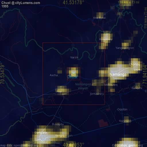
» NASA, Earths city lights 1995
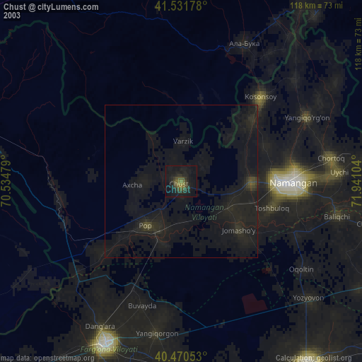
» NASA city lights 2003
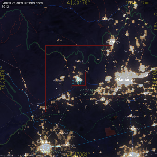
» Earth at Night: Flat Maps 2012, 2016