General Pacheco night lights from space
Night Light of General Pacheco (Buenos Aires) from space (Argentina) Src. Average luminocity for 10x10km area is 95.6748% and for 50x50km: 58.432%.
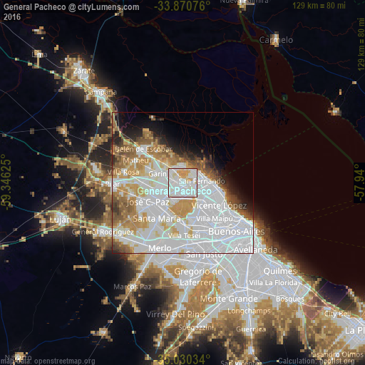
Analysis of General Pacheco night lights 2016
Square area 10x10 km:
 46.15%
90-99
37.59%80-89
7.52%70-79
8.74%60-69
0%50-59
0%40-49
0%30-39
0%20-29
0%10-19
0%0-9
0%Square area 50x50 km:
27.83%90-99
12.65%80-89
4.55%70-79
6.37%60-69
5.2%50-59
4.93%40-49
2.79%30-39
2.21%20-29
2.92%10-19
4.77%0-9
25.78%Clear (daylight) street map image can be seen on geolist.org.
Map coordinates:
33° 52' 14.7" South, 59° 20' 46.5" West
34° 27' 9.2" South, 58° 38' 35.2" West
35° 1' 49.2" South, 57° 56' 24" West
Some cities around General Pacheco sort by population:
• San Miguel
11.9 km =7.4 mi,  212°
212°
• Don Torcuato
4.9 km =3 mi,  162°
162°
• Los Polvorines
8.1 km =5 mi,  225°
225°
• San Isidro
10.9 km =6.8 mi,  101°
101°
• Villa de Mayo
7.3 km =4.5 mi, 207°
• Tortuguitas
10.4 km =6.5 mi,  256°
256°
• Ingeniero Pablo Nogués
6.5 km =4 mi,  244°
244°
• Tigre
6.5 km =4 mi,  63°
63°
3433787 (p: 43,287)
Sources (retrieved 2019-11-25):
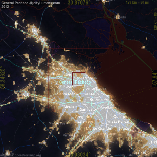
» Earth at Night: Flat Maps 2012, 2016