Wilsonville night lights from space
Night Light of Wilsonville (Oregon) from space (United States) Src. Average luminocity for 10x10km area is 36.3762% and for 50x50km: 26.064%.
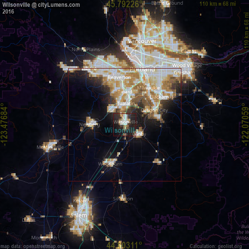
Analysis of Wilsonville night lights 2016
Square area 10x10 km:
 7.78%
7.78%90-99
6.51%80-89
2.22%70-79
2.54%60-69
2.54%50-59
4.29%40-49
4.6%30-39
5.87%20-29
18.57%10-19
36.83%0-9
8.25%Square area 50x50 km:
5.94%90-99
6.21%80-89
3.02%70-79
3.74%60-69
3.76%50-59
2.99%40-49
2.04%30-39
2.2%20-29
3.76%10-19
9.19%0-9
57.15%Clear (daylight) street map image can be seen on geolist.org.
Map coordinates:
45° 47' 32.1" North, 123° 28' 36.6" West
45° 17' 59.4" North, 122° 46' 25.4" West
44° 48' 11.2" North, 122° 4' 14.1" West
Some cities around Wilsonville sort by population:
• Tigard
14.6 km =9.1 mi,  0°
0°
• Lake Oswego
15.7 km =9.8 mi,  30°
30°
• Oregon City
14.5 km =9 mi,  63°
63°
• Tualatin
9.4 km =5.8 mi, 4°
• West Linn
14.6 km =9.1 mi, 59°
• Newberg
15.6 km =9.7 mi,  270°
270°
• Sherwood
8.2 km =5.1 mi,  320°
320°
• Canby
7.6 km =4.7 mi,  122°
122°
5761287 (p: 22,729)
Sources (retrieved 2019-11-25):
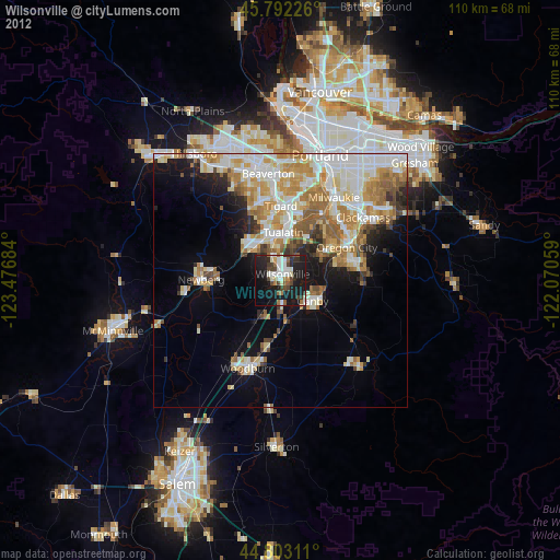
» Earth at Night: Flat Maps 2012, 2016